Public domain
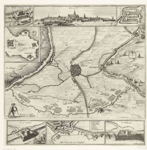
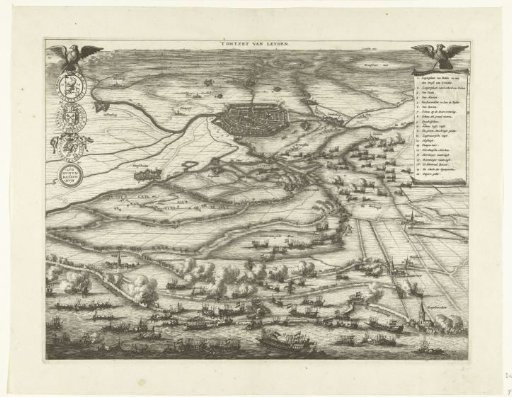
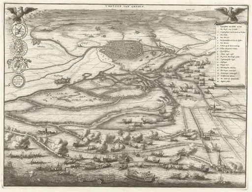
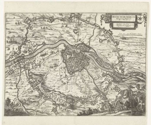
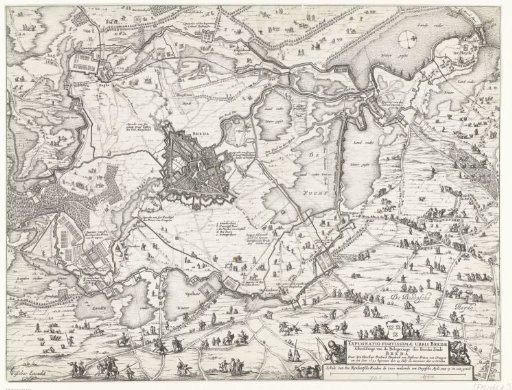
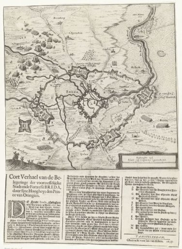
Map of the siege of Breda, 1637
From the collection of Rijksmuseum, Amsterdam. Free to download, adapt and use — no permission needed.
About this work
Map of the siege of Breda by the States army under Frederik Hendrik, 23 July - 10 October 1637. Map of the city and surroundings. Below the image a text is printed of 3 columns with the legend A-N. In the text 30 July is mentioned as the last date.
Rijksmuseum, Amsterdam’s own descriptionSubjects
Credit lineKaart van het beleg van Breda, 1637. 1637. anonymous. Rijksmuseum, Amsterdam. Public domain.