Public domain
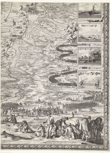
Large map of the siege of 's-Hertogenbosch by Frederick Henry (lower right sheet), 1629
From the collection of Rijksmuseum, Amsterdam. Free to download, adapt and use — no permission needed.
About this work
Large map of the siege of 's-Hertogenbosch by the States' army under Frederick Henry, from 1 May to 17 September 1629. On both sides of the map, 18 small depictions with details of the city's fortifications and surrounding forts marked I-Z. The map is composed of six plates and two (missing) text sheets. This is the bottom-right sheet with a part of the map showing the encirclement. In the foreground, several surveyors at work.
Rijksmuseum, Amsterdam’s own descriptionSubjects
Credit lineGrote kaart van het beleg van Den Bosch door Frederik Hendrik (blad rechtsonder), 1629. 1629. Salomon Savery. Rijksmuseum, Amsterdam. Public domain.
Similar works
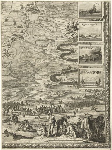 Large map of the siege of 's-Hertogenbosch by Frederick Henry (bottom right sheet), 1629
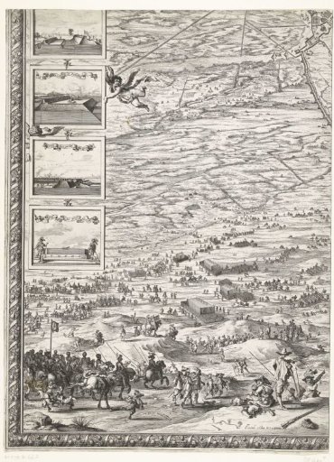 Large map of the siege of 's-Hertogenbosch by Frederick Henry (lower left sheet), 1629
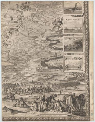 Large map of the siege of 's-Hertogenbosch by Frederick Henry (bottom right sheet), 1629
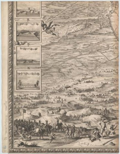 Large map of the siege of 's-Hertogenbosch by Frederick Henry (bottom left sheet), 1629
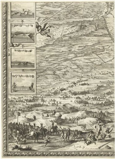 Large map of the siege of 's-Hertogenbosch by Frederick Henry (bottom left sheet), 1629
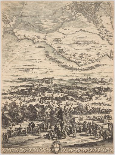 The Siege of Breda