Public domain
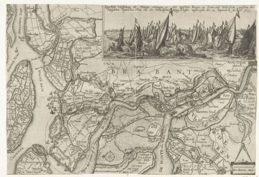
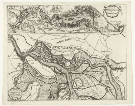
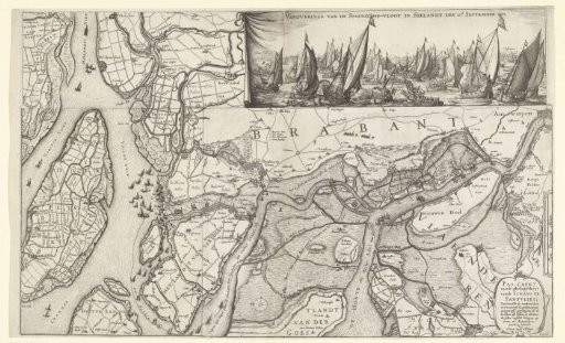
Map of the area between Bergen op Zoom and Antwerp and the victory at the Slaak, 1631
From the collection of Rijksmuseum, Amsterdam. Free to download, adapt and use — no permission needed.
About this work
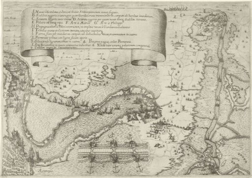
Map of the waterways, creeks, and flooded land between Bergen op Zoom, Zandvliet, and Antwerp. The chart indicates the routes taken by the States' and Spanish fleets before the Battle of the Slaak. In the top right, an inset with a depiction of the Battle of the Slaak, 12-13 September 1631.
Rijksmuseum, Amsterdam’s own descriptionCredit lineKaart van het gebied tussen Bergen op Zoom en Antwerpen en de overwinning op het Slaak, 1631. 1627. Claes Jansz. Visscher (II). Rijksmuseum, Amsterdam. Public domain.