Public domain
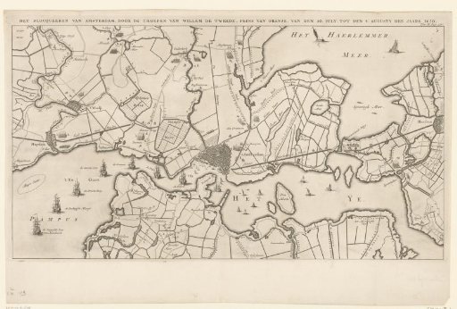
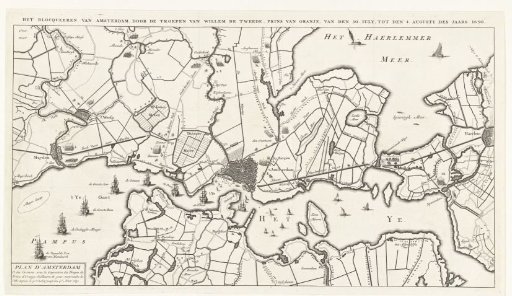
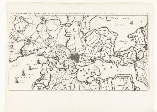
Map of the blockade of Amsterdam by the troops of William II, 1650
From the collection of Rijksmuseum, Amsterdam. Free to download, adapt and use — no permission needed.
About this work
Map of the blockade of Amsterdam by the troops of Prince William II, from 20 July to 4 August 1650. Map of Amsterdam with the surrounding area, Haarlem to the right, Muiden and Weesp to the left. On the map the different encampments of the troops are indicated. On the left on the Zuiderzee near Pampus several ships with names indicated.
Rijksmuseum, Amsterdam’s own descriptionSubjects
Credit lineKaart van de blokkade van Amsterdam door de troepen van Willem II, 1650. 1728 - 1730. anonymous. Rijksmuseum, Amsterdam. Public domain.