Public domain
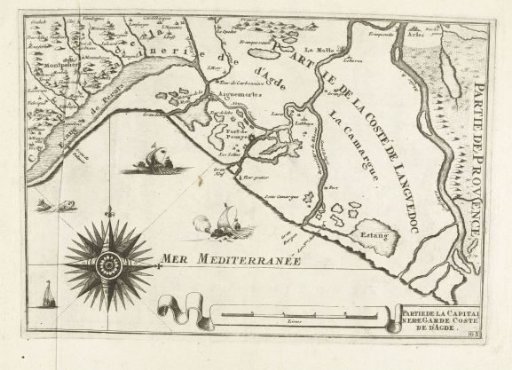
Map of the southern coast of France near Montpellier, ca. 1702
From the collection of Rijksmuseum, Amsterdam. Free to download, adapt and use — no permission needed.
About this work
Map of the French south coast near Montpellier. Marked bottom right: Gg. Part of the second of two volumes of the print series: Les costes de France et d'Espagne (or part 14 of: Les Forces de l'Europe, Asie, Afrique et Amerique), published ca. 1702. The series consists of a total of 43 marked plates of the coast of France and Spain, in the context of the War of the Spanish Succession. These plates are copied from anonymous French plates originally published by Nicolas de Fer in Paris. Title and inscriptions on the plate in French.
Rijksmuseum, Amsterdam’s own descriptionCredit lineKaart van de Franse zuidkust bij Montpellier, ca. 1702. 1702 - 1703. anonymous. Rijksmuseum, Amsterdam. Public domain.
Similar works
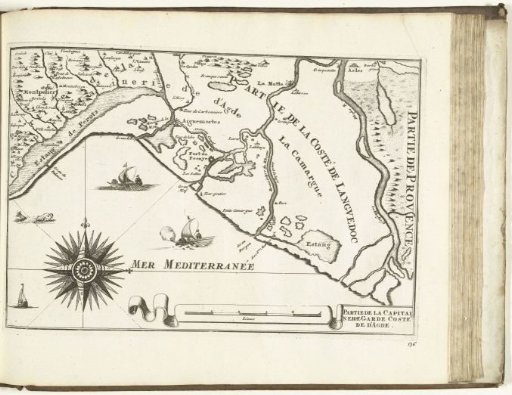 Map of the southern coast of France near Montpellier, 1726
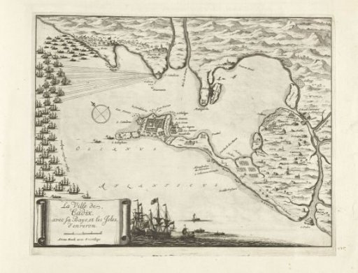 Map of the battle for Cadiz, 1702
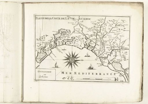 Map of the southern coast of France near Narbonne, ca. 1702
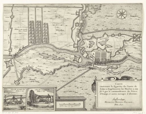 Map with the watermills and the army quarters of the Count of Solms during the siege of 's-Hertogenbosch, 1629
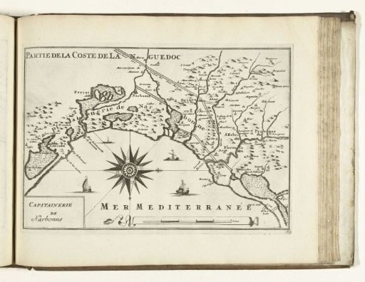 Map of the southern coast of France near Narbonne, 1726
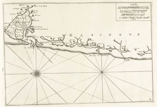 Map of the coast of Gascony, ca. 1702