Public domain
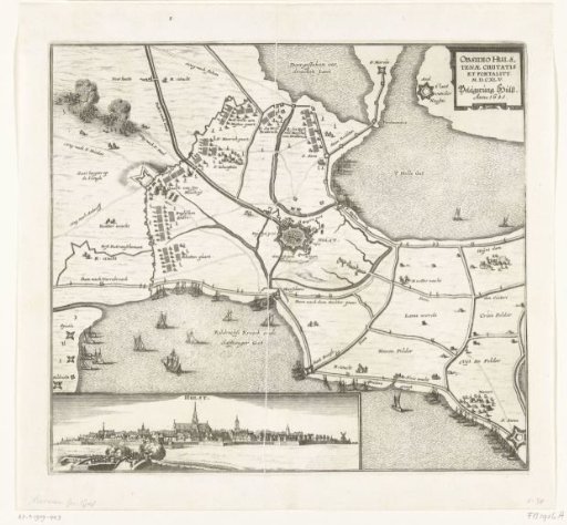
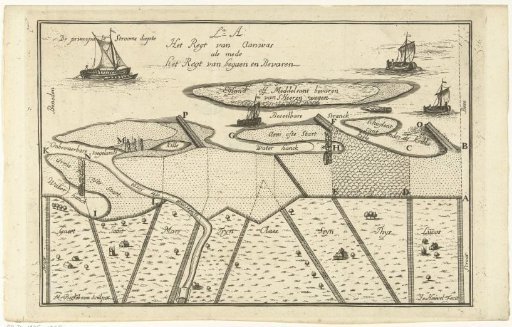
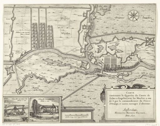
Map with the watermills and the army quarters of the Count of Solms during the siege of 's-Hertogenbosch, 1629
From the collection of Rijksmuseum, Amsterdam. Free to download, adapt and use — no permission needed.
About this work
Map of the army quarters of the Count of Solms with a fleet on the Dieze. In the top left corner of the map, the watermills. In the bottom left, two details showing the two types of mills. Part of the siege of 's-Hertogenbosch by the States' army under Frederick Henry, from 1 May to 17 September 1629. Inscriptions in the image in French and Dutch. Probably belongs to the large map of the siege.
Rijksmuseum, Amsterdam’s own descriptionCredit lineKaart met de watermolens en het legerkwartier van de graaf van Solms tijdens het beleg van Den Bosch, 1629. 1630. anonymous. Rijksmuseum, Amsterdam. Public domain.