Public domain
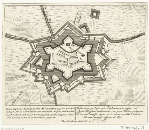
Map of Saint-Venant, 1710
From the collection of Rijksmuseum, Amsterdam. Free to download, adapt and use — no permission needed.
About this work
Plan of Saint-Venant, besieged and captured by the Allies under Prince John William Friso, 30 September 1710. With inscriptions in Dutch and Latin.
Rijksmuseum, Amsterdam’s own descriptionCredit linePlattegrond van Saint-Venant, 1710. 1710. Pieter Schenk (I). Rijksmuseum, Amsterdam. Public domain.