Public domain
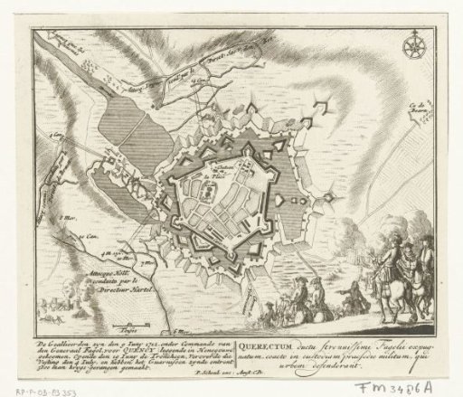
Plan of Le Quesnoy, 1712
From the collection of Rijksmuseum, Amsterdam. Free to download, adapt and use — no permission needed.
About this work
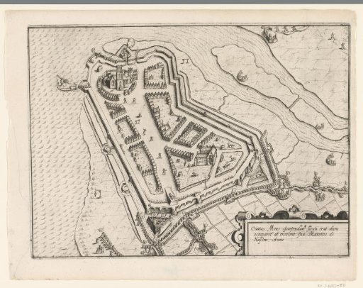
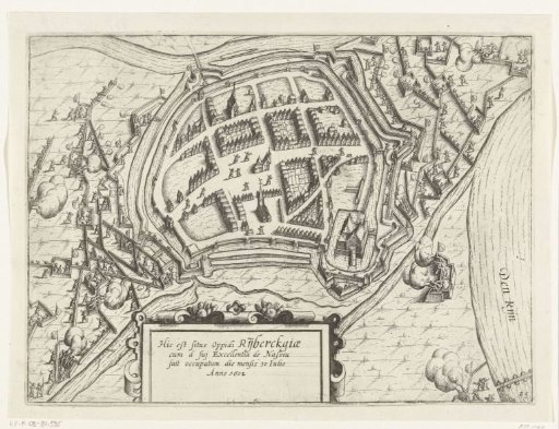
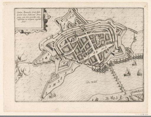
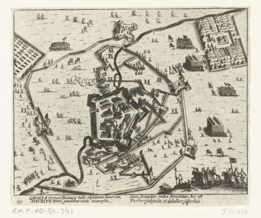
Map of le Quesnoy, taken by the Allies under Baron Fagel on 6 July 1712, after a siege begun on 8 June. With inscriptions in Dutch and Latin. Fragment of a large plate with nine depictions of events from the year 1712 of the War of the Spanish Succession.
Rijksmuseum, Amsterdam’s own descriptionCredit linePlattegrond van le Quesnoy, 1712. 1712. Pieter Schenk (I). Rijksmuseum, Amsterdam. Public domain.