Public domain
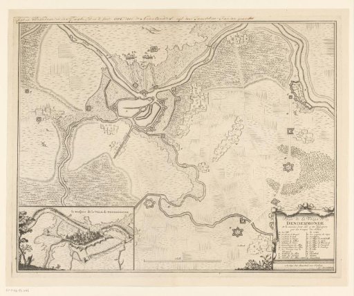
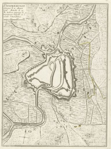
Map of Dendermonde, Captured by the French in 1745
From the collection of Rijksmuseum, Amsterdam. Free to download, adapt and use — no permission needed.
About this work
Map of the fortifications around the city of Dendermonde, attacked on 11 August and captured by the French on 12 August 1745.
Rijksmuseum, Amsterdam’s own descriptionCredit linePlattegrond van Dendermonde, ingenomen door de Fransen in 1745. 1745. anonymous. Rijksmuseum, Amsterdam. Public domain.