Public domain
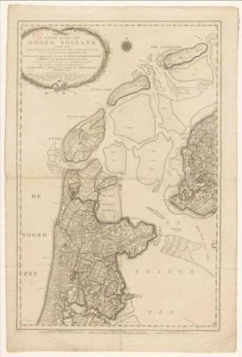
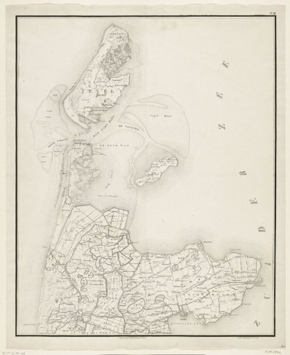
Map of the North Holland coast, 1799
From the collection of Rijksmuseum, Amsterdam. Free to download, adapt and use — no permission needed.
About this work
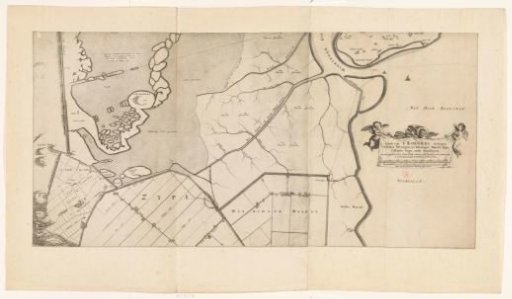
Map of the northern tip of North Holland and the islands of Texel and Wieringen. With the landing of the British troops on the coast above Callantsoog on 27 August 1799. Numbered top right: No. III.
Rijksmuseum, Amsterdam’s own descriptionCredit lineKaart van de kop van Noord-Holland, 1799. 1830 - 1832. Steuerwald & Co.. Rijksmuseum, Amsterdam. Public domain.