Public domain
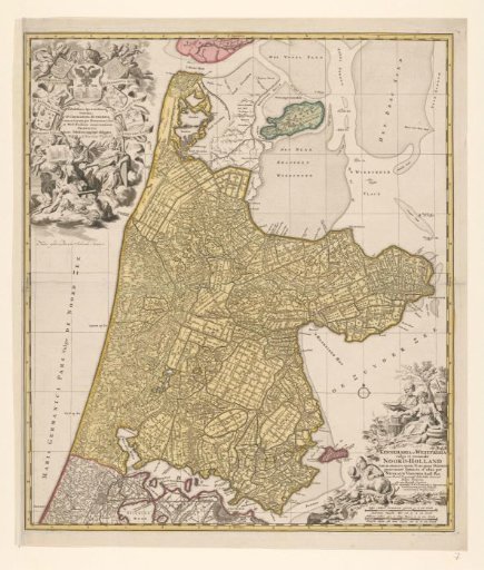
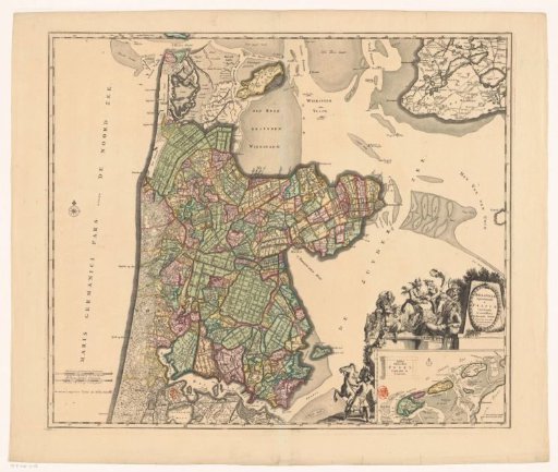
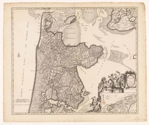
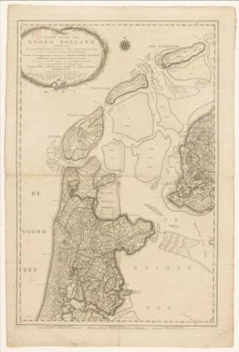
Map of North Holland, divided into water boards
From the collection of Rijksmuseum, Amsterdam. Free to download, adapt and use — no permission needed.
About this work
In the upper left a cartouche with the title and a legend. Along the bottom seven scale bars: Scale of 6000 Rhineland rods; Scales of 1 hour's travel [five different]; Scale of 3 German miles. Degree division along the edges.
Rijksmuseum, Amsterdam’s own descriptionCredit lineKaart van Noord-Holland, verdeeld in hoogheemraadschappen. 1792. Cornelis van Baarsel. Rijksmuseum, Amsterdam. Public domain.