Public domain
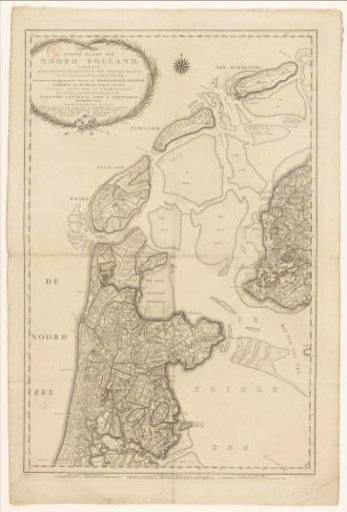
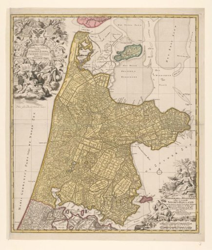
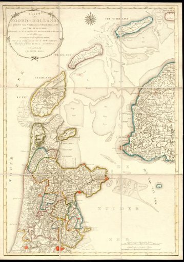
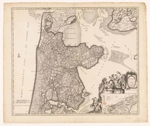
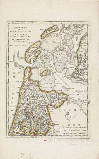
Map of the area in North Holland affected by the floods of 1825
From the collection of Rijksmuseum, Amsterdam. Free to download, adapt and use — no permission needed.
About this work
Map of the province of North Holland, showing the area affected by the floods in February 1825 in blue. A breached dike is marked in red. At the bottom of the sheet two lines of handwriting. Part of a series of five maps of the affected areas.
Rijksmuseum, Amsterdam’s own descriptionCredit lineKaart van het gebied in Noord-Holland getroffen door de overstromingen in 1825. 1825. anonymous. Rijksmuseum, Amsterdam. Public domain.