Public domain
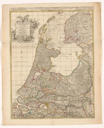
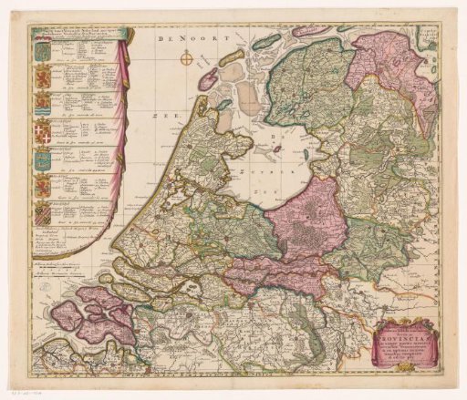
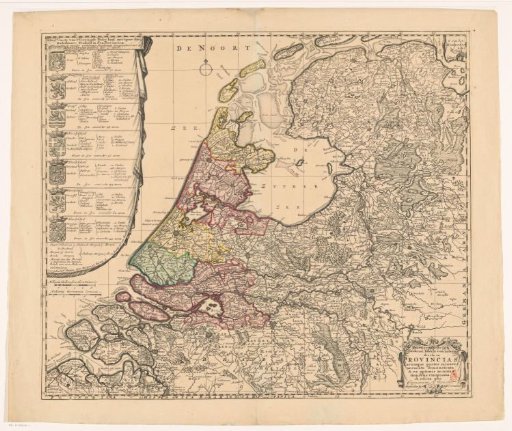
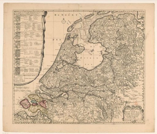
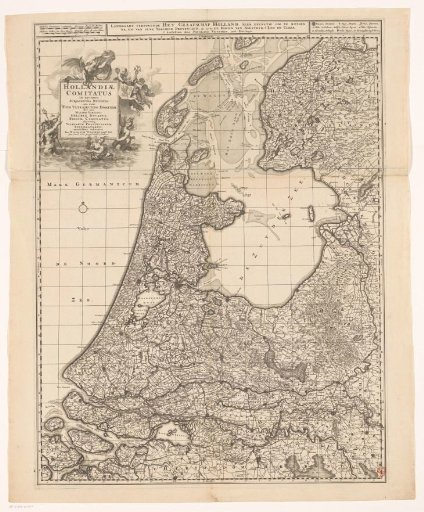
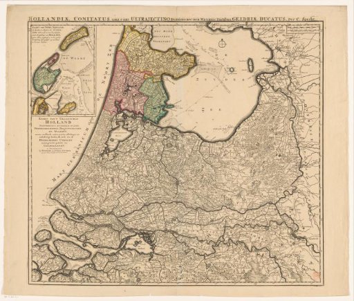
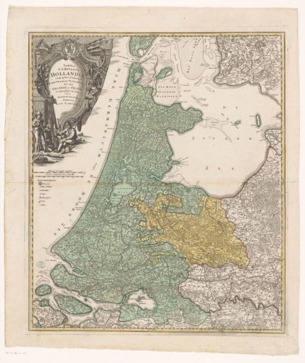
Map of Holland, Utrecht, and part of Gelderland and Friesland
From the collection of Rijksmuseum, Amsterdam. Free to download, adapt and use — no permission needed.
About this work
Left: title cartouche with above it the coat of arms of the Republic and below it a farmer and a fisherman. Below that: two scale bars: Milliaria Germanica communia, Milliaria Gallica sive hore itineris. Below that: legend. Degree division along the edges.
Rijksmuseum, Amsterdam’s own descriptionCredit lineKaart van Holland, Utrecht en een deel van Gelderland en Friesland. 1733. anonymous. Rijksmuseum, Amsterdam. Public domain.