Public domain
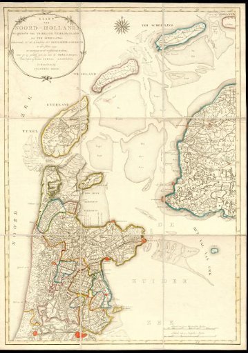
Map of North Holland with the landing sites of the English and Russians in 1799
From the collection of Rijksmuseum, Amsterdam. Free to download, adapt and use — no permission needed.
About this work
Map of the northwest of the Netherlands. Consisting of nine separate parts mounted on one sheet of paper. To illustrate the events surrounding the British-Russian expedition to North Holland, also called the Den Helder expedition, which began with the landing at Callantsoog (south of Den Helder) on 27 August 1799.
Rijksmuseum, Amsterdam’s own descriptionCredit lineKaart van Noord-Holland met de landingsplaatsen van de Engelsen en Russen in 1799. 1799 - 1800. François Bohn. Rijksmuseum, Amsterdam. Public domain.
Similar works
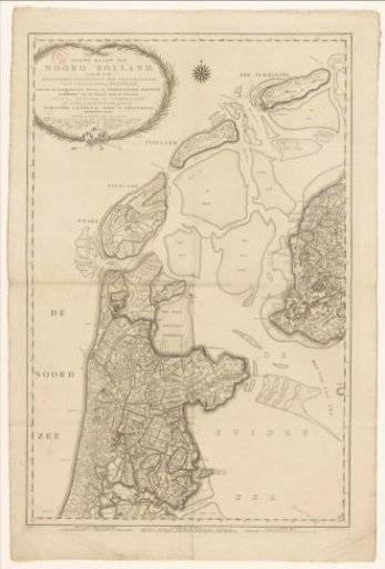 Map of North Holland, divided into water boards
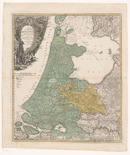 Map of Holland, Utrecht, and part of Gelderland and Friesland
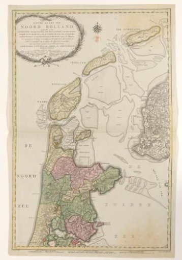 Map of North Holland, divided into water boards, 1796
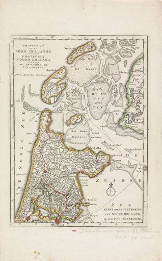 Map of the area in North Holland affected by the floods of 1825
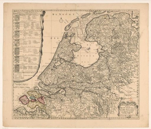 Map of the Republic of the Seven United Netherlands
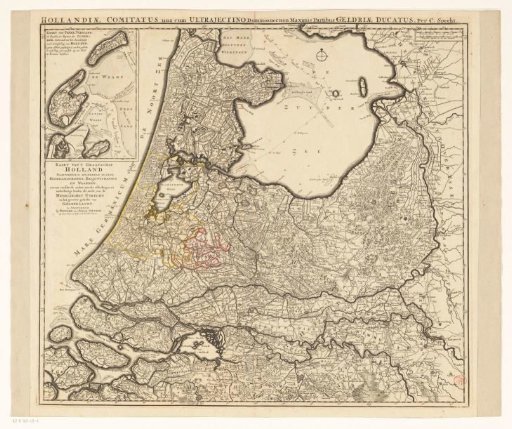 Holland, Utrecht and a part of Gelderland