Public domain
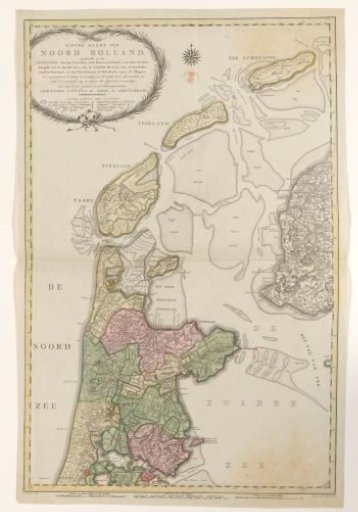
Map of North Holland, divided into water boards, 1796
From the collection of Rijksmuseum, Amsterdam. Free to download, adapt and use — no permission needed.
About this work
Map of North Holland, divided into water boards. In the upper left a cartouche with the title and a legend. Along the bottom edge seven scale bars: Scale of 6000 Rhinland rods; Scales of 1 hour walking [five different]; Scale of 3 German miles. Degree divisions along the edges.
Rijksmuseum, Amsterdam’s own descriptionCredit lineKaart van Noord-Holland, verdeeld in hoogheemraadschappen, 1796. 1796. Cornelis van Baarsel. Rijksmuseum, Amsterdam. Public domain.
Similar works
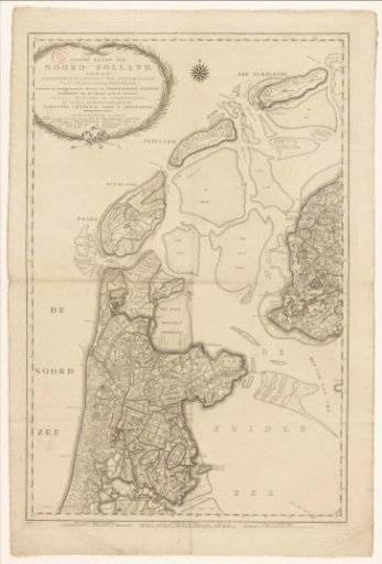 Map of North Holland, divided into water boards
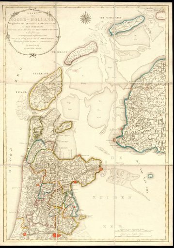 Map of North Holland with the landing sites of the English and Russians in 1799
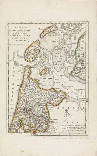 Map of the area in North Holland affected by the floods of 1825
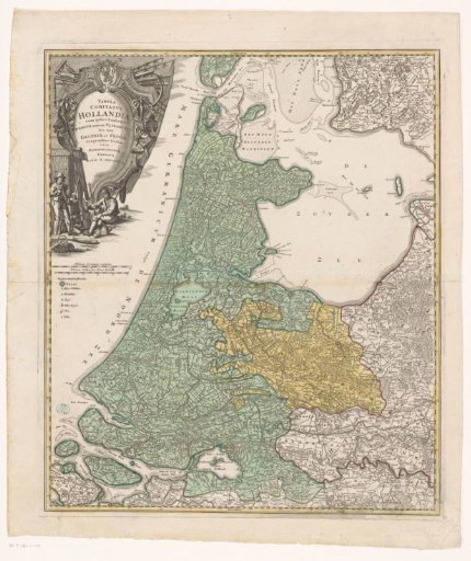 Map of Holland, Utrecht, and part of Gelderland and Friesland
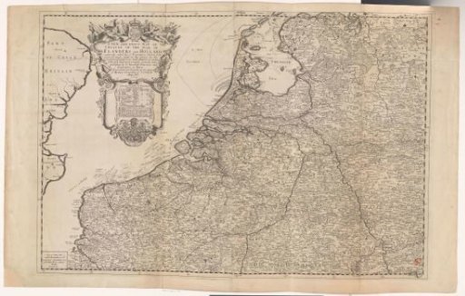 Map of Flanders and Holland
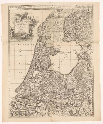 Map of the County of Holland