Public domain
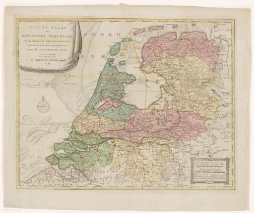
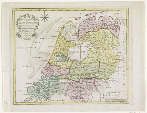
Map of the Batavian Republic, 1798
From the collection of Rijksmuseum, Amsterdam. Free to download, adapt and use — no permission needed.
About this work
New map of the Batavian Republic divided into 8 departments and within them in rings, 1798.
Rijksmuseum, Amsterdam’s own descriptionSubjects
Credit lineKaart van de Bataafse Republiek, 1798. 1798. Cornelis van Baarsel. Rijksmuseum, Amsterdam. Public domain.