Public domain
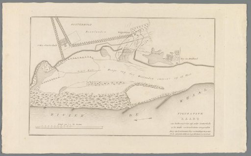
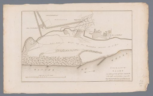
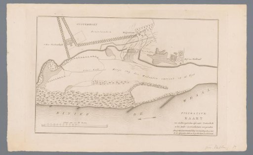
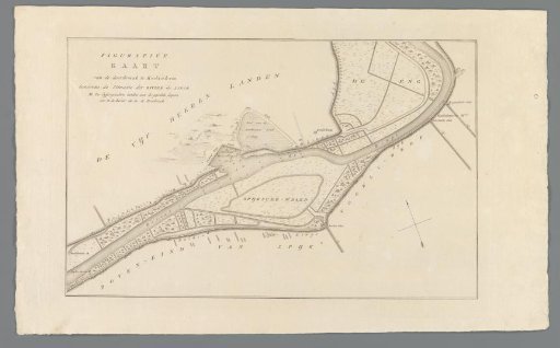
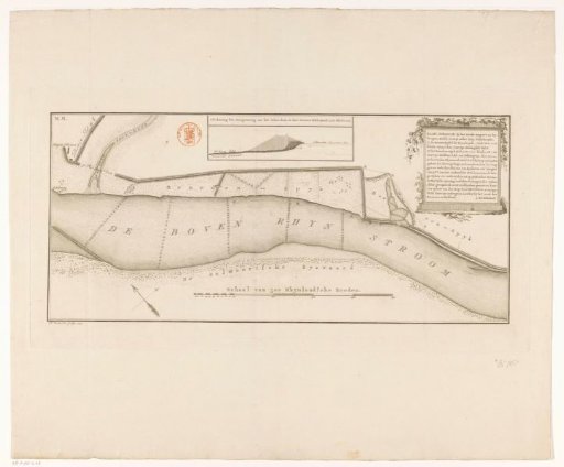
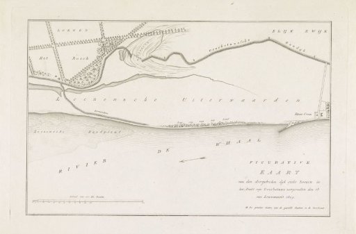
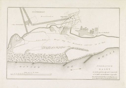
Map of the dike breach below Oosterhout, 1809
From the collection of Rijksmuseum, Amsterdam. Free to download, adapt and use — no permission needed.
About this work
Map of the breach of the dike along the Waal at Oosterhout in Gelderland, 15 January 1809.
Rijksmuseum, Amsterdam’s own descriptionCredit lineKaart van dijkdoorbraak onder Oosterhout, 1809. 1809. anonymous. Rijksmuseum, Amsterdam. Public domain.