Public domain
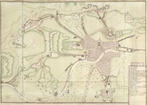
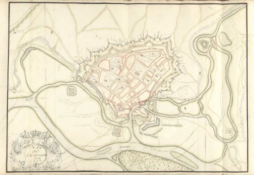
Map of Roermond, 1705
From the collection of Rijksmuseum, Amsterdam. Free to download, adapt and use — no permission needed.
About this work
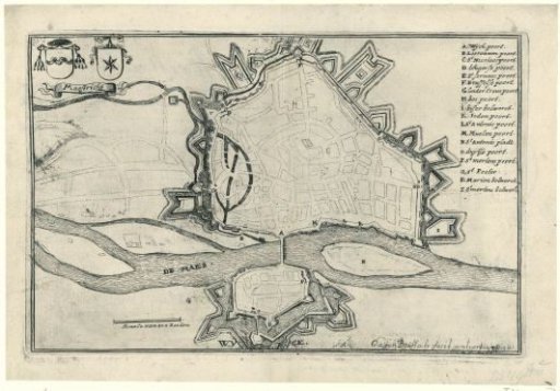
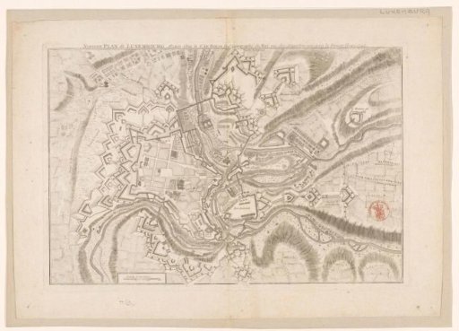
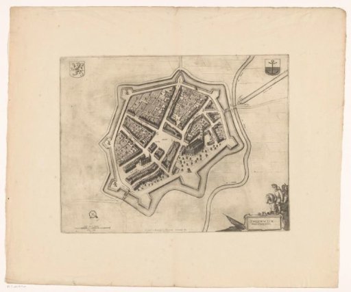
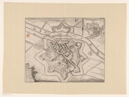
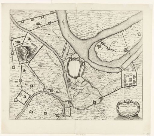
Map of the fortifications around the town of Roermond, 1705. Part of a collection of drawn plans of fortified places in the Netherlands and surrounding countries during the War of the Spanish Succession (part B).
Rijksmuseum, Amsterdam’s own descriptionCredit linePlattegrond van Roermond, 1705. 1705. Samuel Du Ry de Champdoré. Rijksmuseum, Amsterdam. Public domain.