Public domain
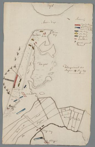
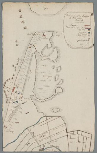
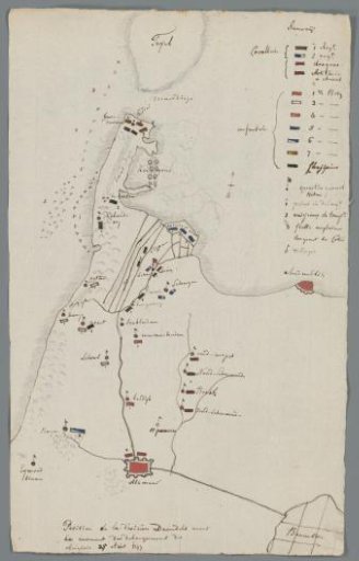
Map of North Holland with the position of Daendels' division on 25 August, 1799
From the collection of Rijksmuseum, Amsterdam. Free to download, adapt and use — no permission needed.
About this work
Drawn map of the northern tip of North Holland with the positions occupied by the division of Daendels on 25 August, before the British troops on 27 August 1799.
Rijksmuseum, Amsterdam’s own descriptionCredit lineKaart van Noord-Holland met de positie van de divisie van Daendels op 25 augustus, 1799. 1799. Hendrik van der Poth. Rijksmuseum, Amsterdam. Public domain.