Public domain
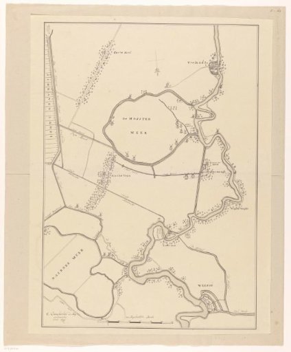
Map of a part of the Gooi
From the collection of Rijksmuseum, Amsterdam. Free to download, adapt and use — no permission needed.
About this work
Manuscript map of a section of the Gooi, showing the course of the Vecht from Vreeland to Weesp, the Naardermeerpolder, the Hostermeerpolder, and surrounding areas. At the bottom, a scale bar: 700 Rijnland rods.
Rijksmuseum, Amsterdam’s own descriptionCredit lineKaart van een deel van het Gooi. 1636 - 1799. Rijksmuseum, Amsterdam. Public domain.
Similar works
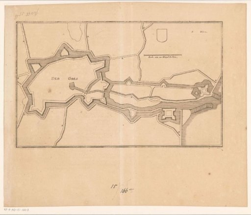 Fortress plan of Goes
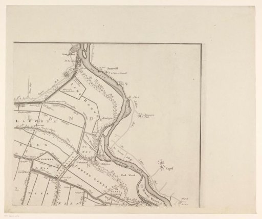 Map of the Vijfheerenlanden (upper right part)
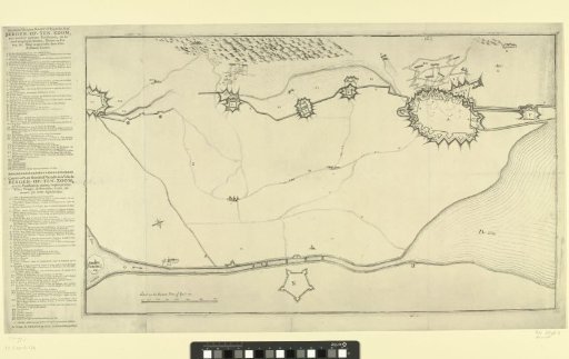 Map with the Fortifications around Bergen op Zoom and Forts in the Surroundings
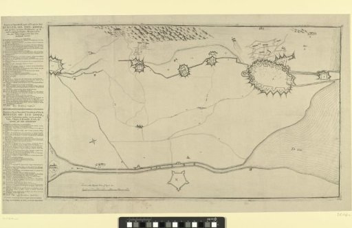 Map with the Fortifications around Bergen op Zoom and Forts in the Surrounding Area
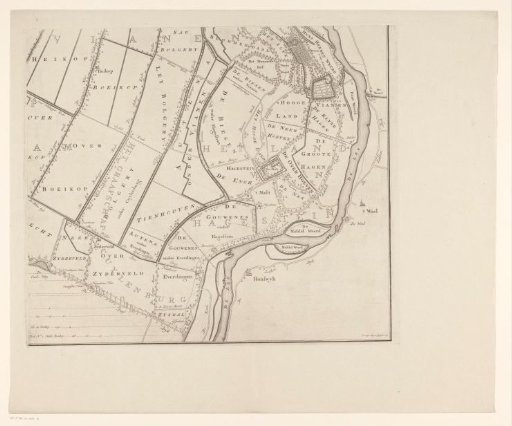 Map of the Five Lords' Lands (lower right section)
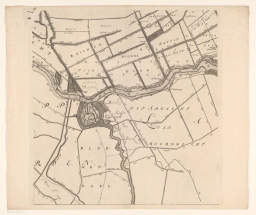 Map of the Hoogheemraadschap of the Krimpenerwaard (fifth part of the map)