Public domain
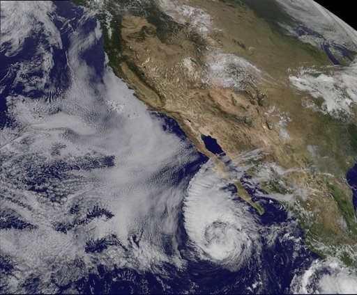
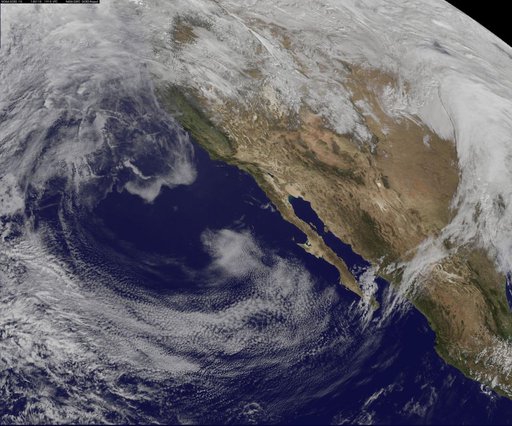
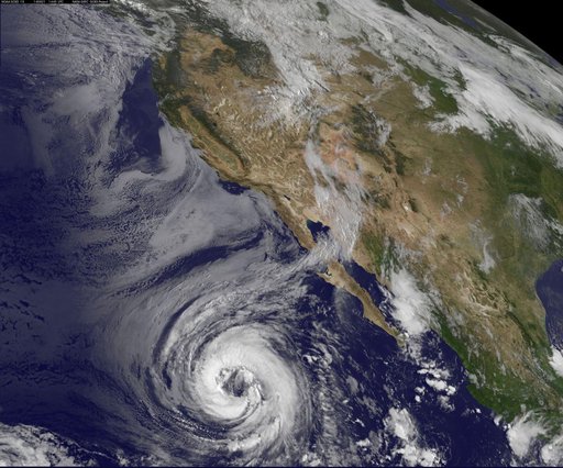
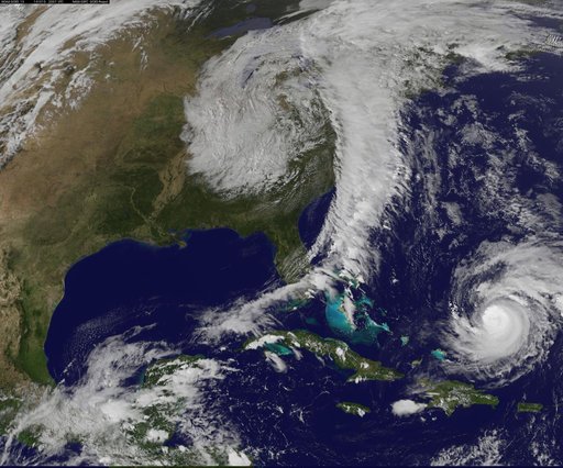
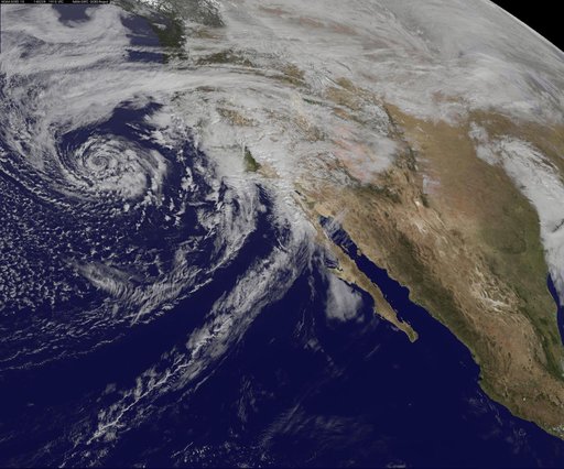
GOES-West Satellite Eyes Soggy Storm Approaching California
From the collection of NASA Image and Video Library. Free to download, adapt and use — no permission needed.
About this work
A swirling Eastern Pacific Ocean storm system headed for California was spotted by NOAA's GOES-West satellite on February 28. According to the National Weather Service, this storm system has the potential to bring heavy rainfall to the drought-stricken state. The storm was captured using visible data from NOAA's GOES-West or GOES-15 satellite on Feb. 28 at 1915 UTC/11:15 a.m. PST was made into an image by NASA/NOAA's GOES Project at NASA's Goddard Space Flight Center in Greenbelt, Md.
NASA Image and Video Library’s own descriptionSubjects
Credit lineGOES-West Satellite Eyes Soggy Storm Approaching California. NASA/GSFC, 2017-12-08. Public domain. ID: GSFC_20171208_Archive_e001192.