Public domain
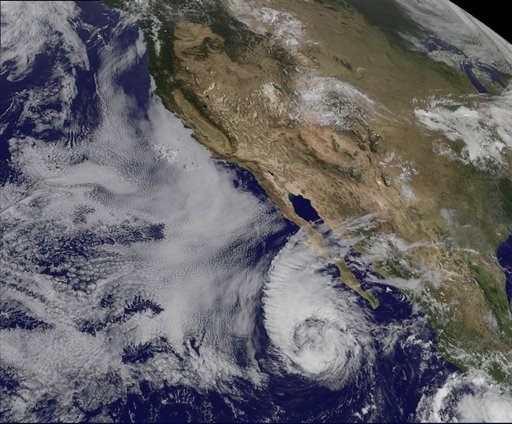
Satellite Sees Miriam Weaken to a Tropical Storm
From the collection of NASA Image and Video Library. Free to download, adapt and use — no permission needed.
About this work
This visible image of Tropical Storm Miriam was captured by NOAA's GOES-15 satellite on Sept. 26, 2012 at 10:45 a.m. EDT off the coast of Baja California. The strongest thunderstorms were in a large band of thunderstorms north and northwest of the center. Miriam is banked to the north and west by an extensive field of stratocumulus clouds. Credit: NASA/NOAA GOES Project ---- Once a powerful hurricane, Miriam is now a tropical storm off the coast of Baja California, Mexico.
NASA Image and Video Library’s own descriptionSubjects
Credit lineSatellite Sees Miriam Weaken to a Tropical Storm. NASA/GSFC, 2017-12-08. Public domain. ID: GSFC_20171208_Archive_e001650.
Similar works
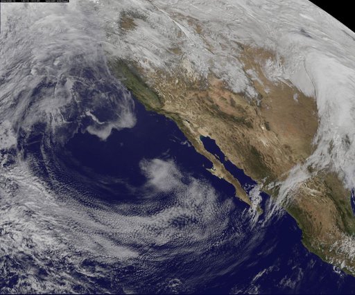 Satellite View of the U.S. West on January 10, 2014
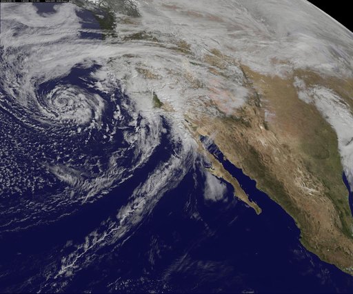 GOES-West Satellite Eyes Soggy Storm Approaching California
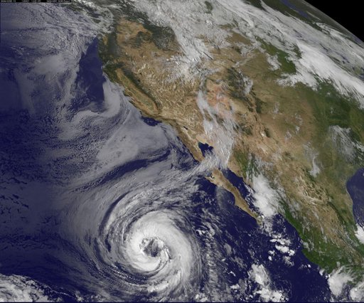 Tropical Storm Lowell Becomes 7th Eastern Pacific Hurricane
 Satellite Eyes First Major Atlantic Hurricane in 3 Years: Gonzalo
 NASA GOES-12 East Coast view March 22, 2010
 Two Low Pressure Areas Fighting to Control the U.S. Mid-Atlantic Weather