Public domain
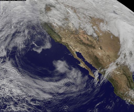
Satellite View of the U.S. West on January 10, 2014
From the collection of NASA Image and Video Library. Free to download, adapt and use — no permission needed.
About this work
This NOAA GOES-west satellite image shows high pressure over the 4 corners region (Utah, Colorado, northern Arizona and northwestern New Mexico), and the National Weather Service has forecast snow north of the high in the Wasatch range and adjacent valleys. Toward the top of the GOES image, there's a strong Pacific storm moving onshore that NWS expects will bring high winds, heavy rains, and feet of snow to the northwestern U.S.
NASA Image and Video Library’s own descriptionCredit lineSatellite View of the U.S. West on January 10, 2014. NASA/GSFC, 2017-12-08. Public domain. ID: GSFC_20171208_Archive_e001258.
Similar works
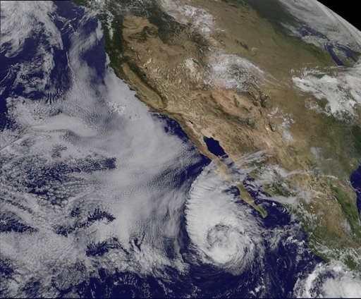 Satellite Sees Miriam Weaken to a Tropical Storm
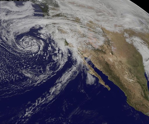 GOES-West Satellite Eyes Soggy Storm Approaching California
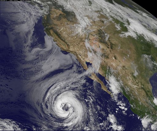 Tropical Storm Lowell Becomes 7th Eastern Pacific Hurricane
 NASA GOES-12 East Coast view March 22, 2010
 Satellite Views Powerful Winter Storm Battering Mid-Atlantic and New England
 image1goes5117.jpg