Public domain
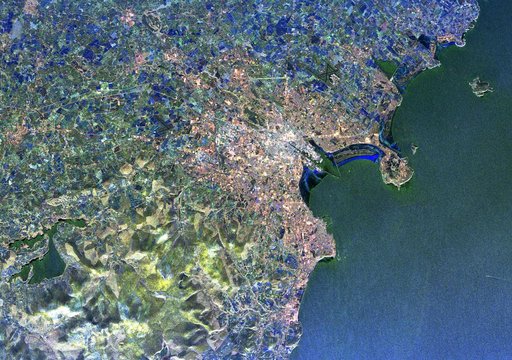
Radar Image of Dublin, Ireland
From the collection of NASA Image and Video Library. Free to download, adapt and use — no permission needed.
About this work
Visualization Date 1994-04-11 This radar image of Dublin, Ireland, shows how the radar distingishes between densely populated urban areas and nearby areas that are relatively unsettled. In the center of the image is the city's natural harbor along the Irish Sea. The pinkish areas in the center are the densely populated parts of the city and the blue/green areas are the suburbs.
NASA Image and Video Library’s own descriptionSubjects
Credit lineRadar Image of Dublin, Ireland. NASA/GSFC, 2017-12-08. Public domain. ID: GSFC_20171208_Archive_e002080.
Similar works
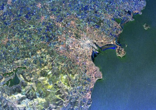 Space Radar Image of Dublin, Ireland
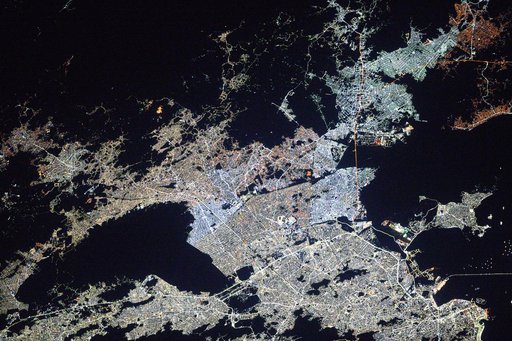 Rio de Janiero, Brazil's capital and second most-populous city
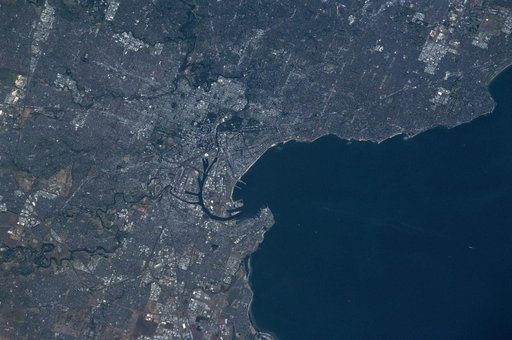 Earth observations of Melbourne, Australia taken during the STS-97 mission
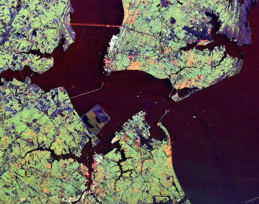 Space Radar Image of Hampton Roads, Virginia
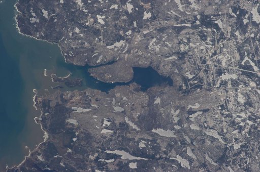 Earth Observations taken by Expedition 34 crewmember
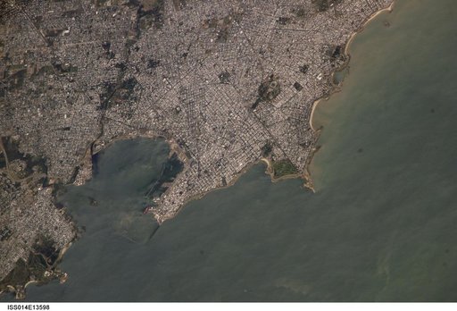 Earth observations taken by the Expedition 14 crew