Public domain
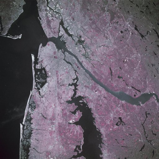
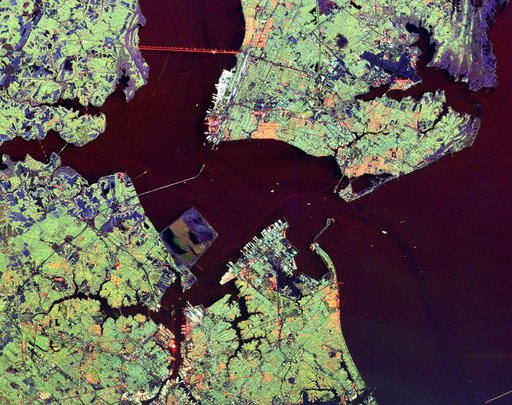
Space Radar Image of Hampton Roads, Virginia
From the collection of NASA Image and Video Library. Free to download, adapt and use — no permission needed.
About this work
This radar image shows the Hampton Roads, Virginia region, where the James River upper left center flows into the Chesapeake Bay.
NASA Image and Video Library’s own descriptionSubjects
Credit lineSpace Radar Image of Hampton Roads, Virginia. NASA/JPL, 1999-04-15. Public domain. ID: PIA01862.