Public domain
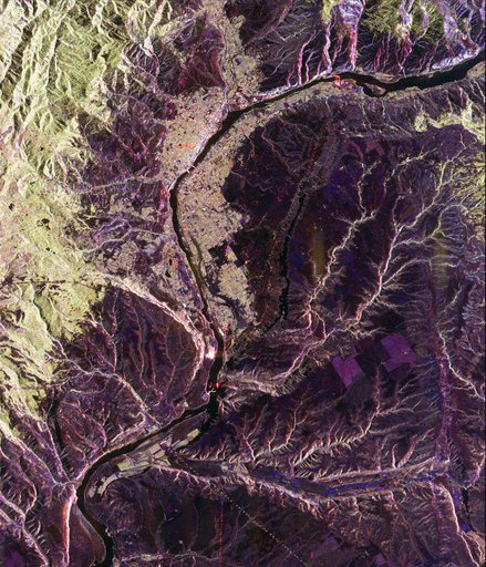
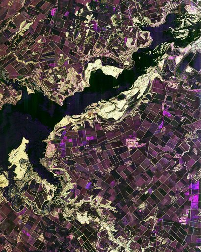
Space Radar Image of Dnieper River, Ukraine
From the collection of NASA Image and Video Library. Free to download, adapt and use — no permission needed.
About this work
This spaceborne radar image shows the intensive agricultural development in central Ukraine, along the Dnieper River. The area shown lies about 320 kilometers 198 miles southeast of Kiev and about 360 kilometers 223 miles northeast of Odessa.
NASA Image and Video Library’s own descriptionSubjects
Credit lineSpace Radar Image of Dnieper River, Ukraine. NASA/JPL, 1999-04-15. Public domain. ID: PIA01850.