Public domain
NASA Satellite Continues to Monitor Thailand Floods
From the collection of NASA Image and Video Library. Free to download, adapt and use — no permission needed.
About this work
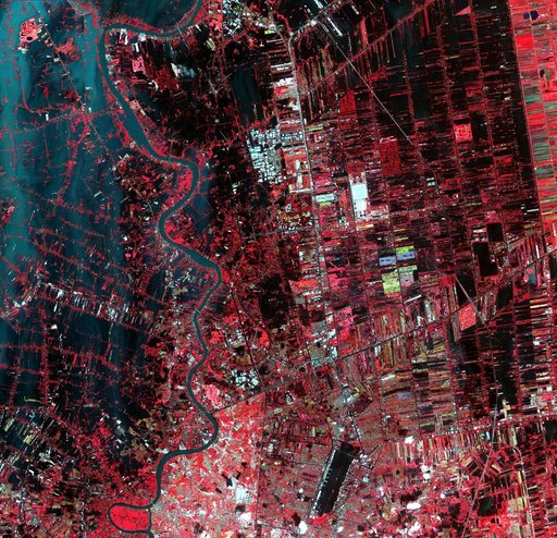
Flooding from the Chao Phraya River, Thailand, had begun to ebb in this image acquired by NASA Terra spacecraft on Nov. 1, 2011. Here, in blue-gray is the muddy water that had overflowed the banks of the river, flooding agricultural fields and villages.
NASA Image and Video Library’s own descriptionCredit lineNASA Satellite Continues to Monitor Thailand Floods. NASA/JPL, 2011-11-02. Public domain. ID: PIA15018.