Public domain
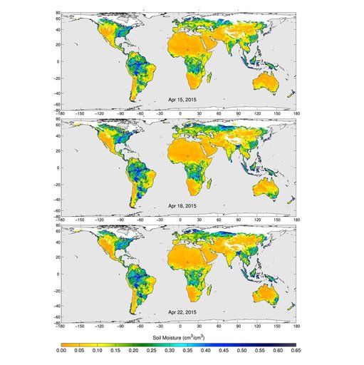
SMAP Radiometer Captures Views of Global Soil Moisture
From the collection of NASA Image and Video Library. Free to download, adapt and use — no permission needed.
About this work
These maps of global soil moisture were created using data from the radiometer instrument on NASA Soil Moisture Active Passive SMAP observatory. Evident are regions of increased soil moisture and flooding during April, 2015.
NASA Image and Video Library’s own descriptionCredit lineSMAP Radiometer Captures Views of Global Soil Moisture. NASA/JPL, 2015-05-06. Public domain. ID: PIA17798.
Similar works
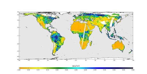 High-Resolution Global Soil Moisture Map
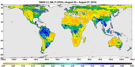 SMAP Global Map of Surface Soil Moisture Aug. 25-27, 2015
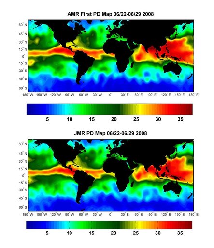 Global Views of Atmospheric Water Vapor:<br />First Data from OSTM/Jason-2 Advanced Microwave Radiometer
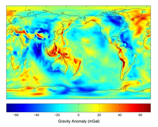 New Views of Earth Gravity Field from GRACE
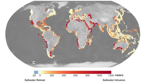 Projections of Saltwater Intrusion in Coastal Watersheds by 2100
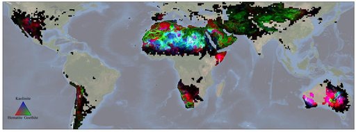 NASA's EMIT Mission Produces Maps of Arid Region Surface Minerals