Public domain
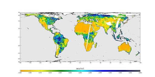
High-Resolution Global Soil Moisture Map
From the collection of NASA Image and Video Library. Free to download, adapt and use — no permission needed.
About this work
High-resolution global soil moisture map from NASA SMAP combined radar and radiometer instruments, acquired between May 4 and May 11, 2015 during SMAP commissioning phase. The map has a resolution of 5.6 miles (9 kilometers). The data gap is due to turning the instruments on and off during testing.
NASA Image and Video Library’s own descriptionCredit lineHigh-Resolution Global Soil Moisture Map. NASA/JPL, 2015-05-19. Public domain. ID: PIA19337.
Similar works
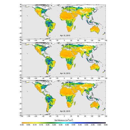 SMAP Radiometer Captures Views of Global Soil Moisture
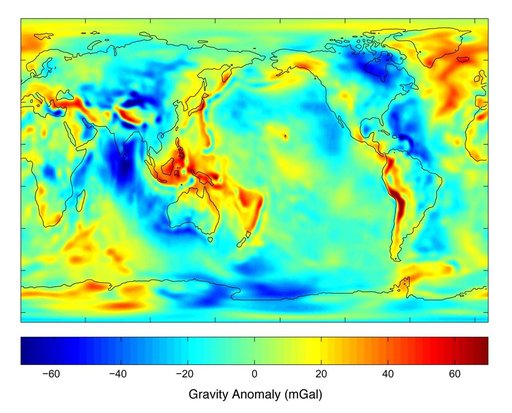 New Views of Earth Gravity Field from GRACE
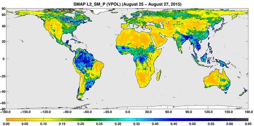 SMAP Global Map of Surface Soil Moisture Aug. 25-27, 2015
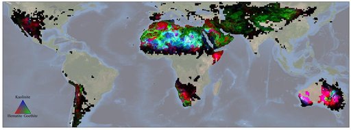 NASA's EMIT Mission Produces Maps of Arid Region Surface Minerals
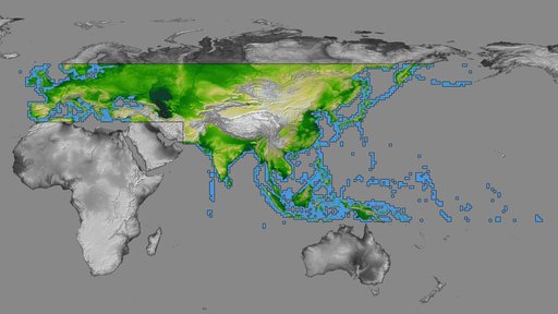 SRTM Data Release for Eurasia, Index Map and Colored Height
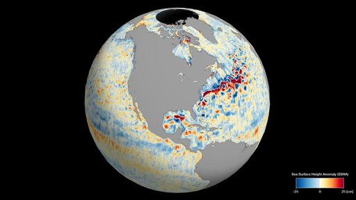 SWOT's Detailed View of Global Sea Level