Public domain
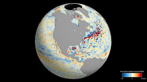
SWOT's Detailed View of Global Sea Level
From the collection of NASA Image and Video Library. Free to download, adapt and use — no permission needed.
About this work
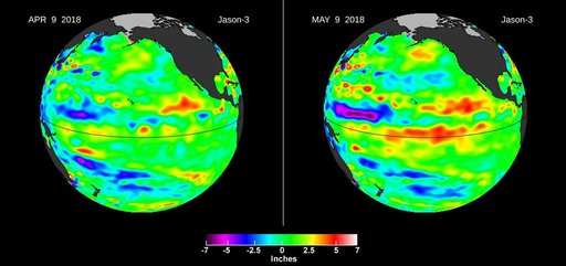
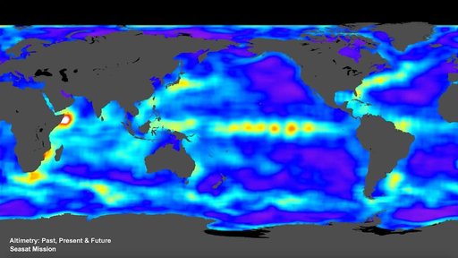
This animation shows global sea level data collected by the Surface Water and Ocean Topography (SWOT) satellite during its first 21-day science orbit, which it completed from July 26 to Aug. 16, 2023. Red and orange indicate ocean heights that were higher than the global mean sea surface height, while blue represents lower-than-the mean. Sea level differences can highlight ocean currents, like the Gulf Stream coming off the U.S. East Coast or the Kuroshio current off the east coast of Japan.
NASA Image and Video Library’s own descriptionCredit lineSWOT's Detailed View of Global Sea Level. NASA/JPL, 2023-10-30. Public domain. ID: PIA26100.