Public domain
SWOT Satellite will Improve Clarity and Detail of Sea Height Measurements
From the collection of NASA Image and Video Library. Free to download, adapt and use — no permission needed.
About this work
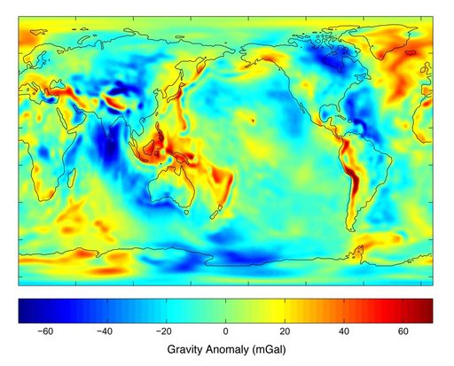
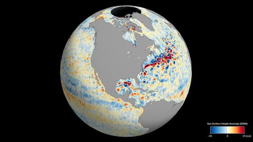
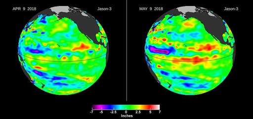
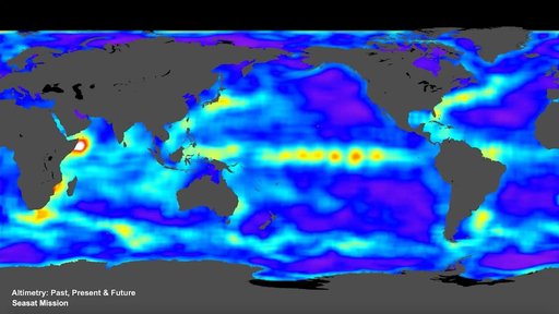
This animation, created in 2012, shows the increasing clarity and detail of measurements of sea height made by successive satellite altimeters launched by NASA and other agencies over the past four decades, concluding with data at the resolution possible with the Surface Water and Ocean Topography (SWOT) satellite, expected to launch in December 2022. Each new spacecraft has been able to obtain higher-resolution observations than its predecessors.
NASA Image and Video Library’s own descriptionSubjects
Credit lineSWOT Satellite will Improve Clarity and Detail of Sea Height Measurements. NASA/JPL, 2022-11-14. Public domain. ID: PIA25561.