Public domain
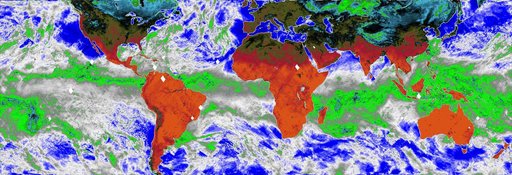
COWVR's New Map
From the collection of NASA Image and Video Library. Free to download, adapt and use — no permission needed.
About this work
This map, made using the Compact Ocean Wind Vector Radiometer (COWVR) instrument's observations from Jan. 16 to 23, 2022, shows Earth's microwave emissions at a frequency of 34 gigahertz. This frequency provides information on the strength of winds at the ocean surface, the amount of water in clouds, and the amount of water vapor in the atmosphere. Green and white indicate higher water vapor and clouds, while dark blue over the ocean indicates drier air and clear sky.
NASA Image and Video Library’s own descriptionCredit lineCOWVR's New Map. NASA/JPL, 2022-02-08. Public domain. ID: PIA24985.
Similar works
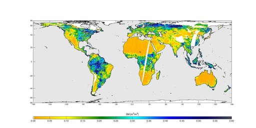 High-Resolution Global Soil Moisture Map
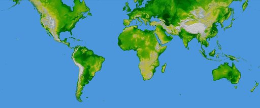 World in Mercator Projection, Shaded Relief and Colored Height
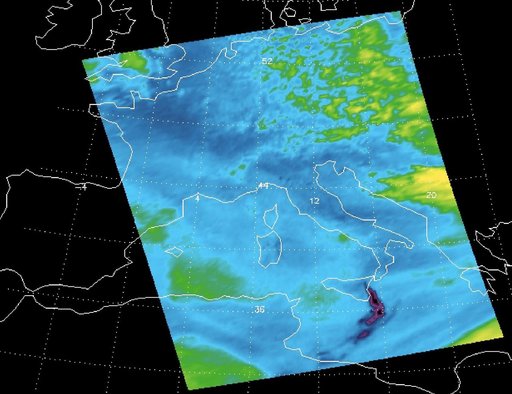 Sulfur Dioxide Plume from Mt. Etna Eruption 2002 as Detected with AIRS Data
 NASA's EMIT Mission Produces Maps of Arid Region Surface Minerals
 SMAP Radiometer Captures Views of Global Soil Moisture
 SWOT Satellite will Improve Clarity and Detail of Sea Height Measurements