Public domain
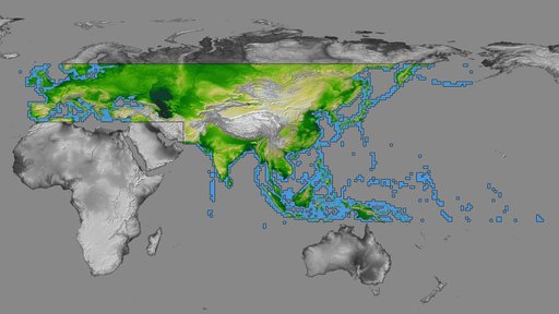
SRTM Data Release for Eurasia, Index Map and Colored Height
From the collection of NASA Image and Video Library. Free to download, adapt and use — no permission needed.
About this work
inal Caption Released with Image: The colored regions of this map show the extent of digital elevation data recently released by the Shuttle Radar Topography Mission (SRTM). This release includes data for most of Europe and Asia plus numerous islands in the Indian and Pacific Oceans. SRTM flew on board the Space Shuttle Endeavour in February 2000 and used an interferometric radar system to map the topography of Earth's landmass between latitudes 56 degrees south and 60 degrees north.
NASA Image and Video Library’s own descriptionSubjects
Credit lineSRTM Data Release for Eurasia, Index Map and Colored Height. NASA/JPL, 2004-01-22. Public domain. ID: PIA03398.
Similar works
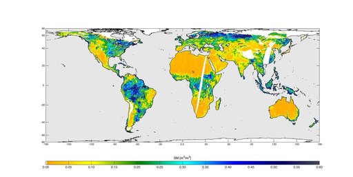 High-Resolution Global Soil Moisture Map
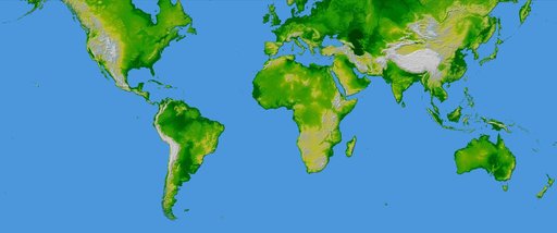 World in Mercator Projection, Shaded Relief and Colored Height
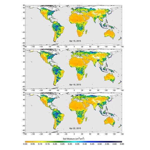 SMAP Radiometer Captures Views of Global Soil Moisture
 COWVR's New Map
 SWOT Satellite will Improve Clarity and Detail of Sea Height Measurements
 One-dimensional representation of Earth to show SRTM coverage