Public domain
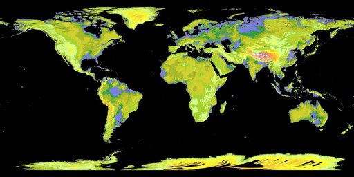
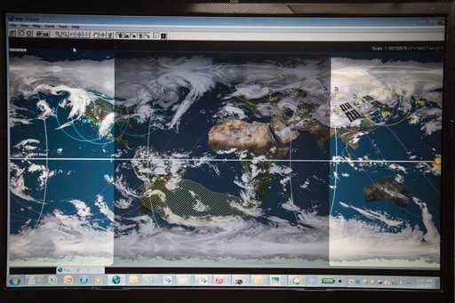
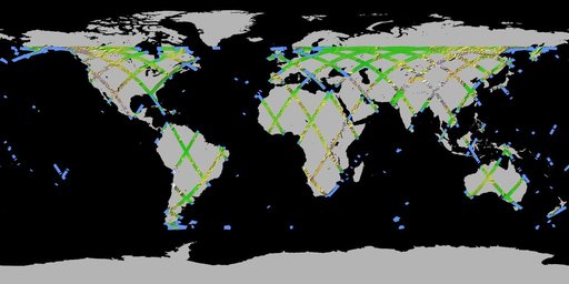
One-dimensional representation of Earth to show SRTM coverage
From the collection of NASA Image and Video Library. Free to download, adapt and use — no permission needed.
About this work
JSC2000E01555 (January 2000) --- A one-dimensional representation of Earth indicates only a portion of the total anticipated coverage area for the Shuttle Radar Topography Mission (SRTM). The primary objective of SRTM is to acquire a high-resolution topographic map of the Earth's land mass (between 60 degrees north and 56 degrees south latitude) and to test new technologies for deployment of large rigid structures and measurement of their distortions to extremely high precision.
NASA Image and Video Library’s own descriptionCredit lineOne-dimensional representation of Earth to show SRTM coverage. NASA/JSC, 2000-02-04. Public domain. ID: jsc2000e01555.