Public domain
Southern U.S. Soil Moisture Map
From the collection of NASA Image and Video Library. Free to download, adapt and use — no permission needed.
About this work
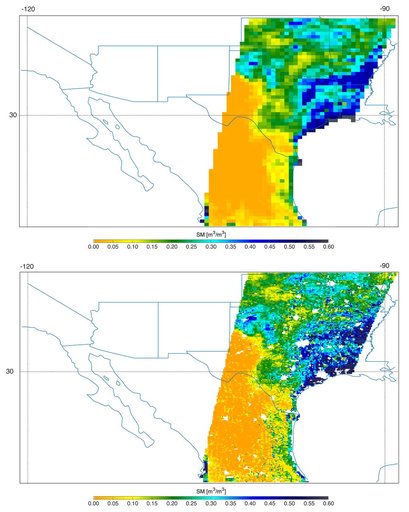
Southern U.S. NASA's SMAP soil moisture retrievals from April 27, 2015, when severe storms were affecting Texas. Top: radiometer data alone. Bottom: combined radar and radiometer data with a resolution of 5.6 miles (9 kilometers). The combined product reveals more detailed surface soil moisture features.
NASA Image and Video Library’s own descriptionCredit lineSouthern U.S. Soil Moisture Map. NASA/JPL, 2015-05-19. Public domain. ID: PIA19338.
Similar works
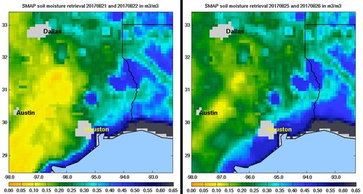 NASA SMAP Images Show Texas Soil Moisture Conditions Before/After Hurricane Harvey's Landfall
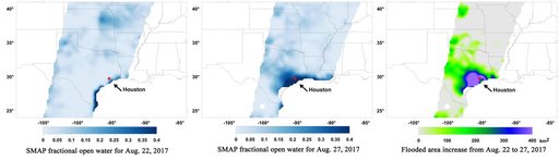 Surface Flooding from Hurricane Harvey Shown in New SMAP Imagery
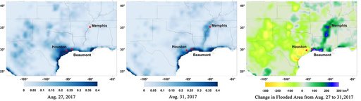 New NASA Maps Show Flooding Changes In Aftermath of Hurricane Harvey
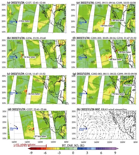 NASA's AIRS Instrument Tracks Volcanic Sulfur Dioxide Plume from Mauna Loa Eruption
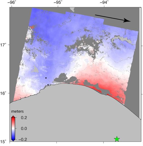 Sentinel-1 Radar Shows Ground Motion From Sept. 2017 Oaxaca-Chiapas, Mexico Quake
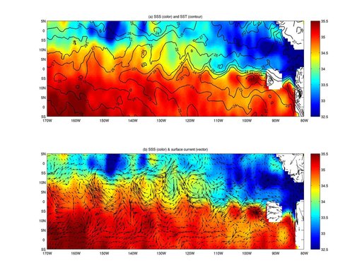 NASA Aquarius Maps Ocean Salinity Structure