Public domain
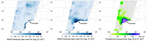
Surface Flooding from Hurricane Harvey Shown in New SMAP Imagery
From the collection of NASA Image and Video Library. Free to download, adapt and use — no permission needed.
About this work
A new series of images generated with data from NASA's Soil Moisture Active Passive (SMAP) satellite illustrate the surface flooding caused by Hurricane Harvey from before its initial landfall through August 27, 2017. The SMAP observations detect the proportion of the ground covered by surface water within the satellite's field of view. The sequence of images depicts successive satellite orbital swath observations showing the surface water conditions on August 22, before Harvey's landfall (left)
NASA Image and Video Library’s own descriptionCredit lineSurface Flooding from Hurricane Harvey Shown in New SMAP Imagery. NASA/JPL, 2017-08-30. Public domain. ID: PIA21930.
Similar works
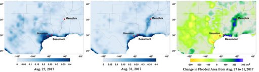 New NASA Maps Show Flooding Changes In Aftermath of Hurricane Harvey
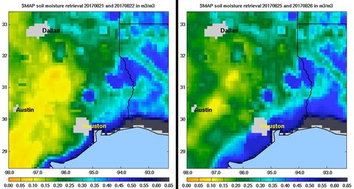 NASA SMAP Images Show Texas Soil Moisture Conditions Before/After Hurricane Harvey's Landfall
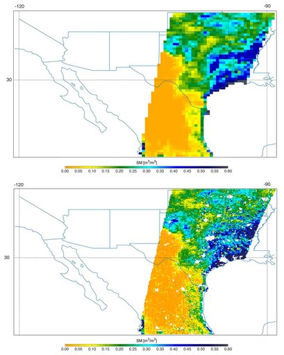 Southern U.S. Soil Moisture Map
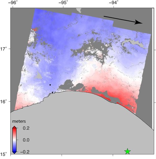 Sentinel-1 Radar Shows Ground Motion From Sept. 2017 Oaxaca-Chiapas, Mexico Quake
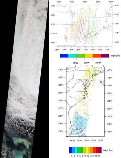 NASA Spacecraft Imagery Shows Hurricane Sandy Wind Flow
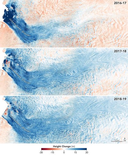 Jakobshavn Glacier Grows for Third Year in a Row