Public domain
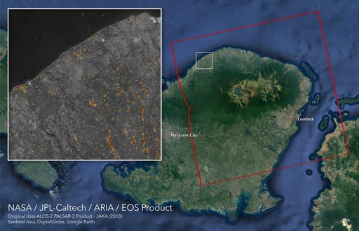
ARIA Damage Proxy Map of Lombok, Indonesia Earthquakes
From the collection of NASA Image and Video Library. Free to download, adapt and use — no permission needed.
About this work
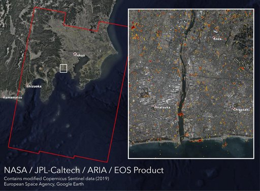
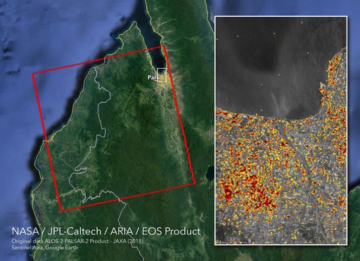
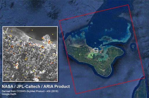
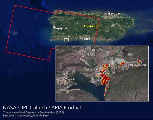
The Advanced Rapid Imaging and Analysis (ARIA) team at NASA's Jet Propulsion Laboratory in Pasadena, California, and Caltech, also in Pasadena, created this Damage Proxy Map (DPM) depicting areas in the northeastern part of Lombok Island, Indonesia, that are likely damaged (shown by red and yellow pixels) as a result of the major earthquake sequence (including the M6.4 July 29, the M6.9 August 5, the M5.9 August 9, and the M6.4 August 18 earthquakes) in 2018.
NASA Image and Video Library’s own descriptionSubjects
Credit lineARIA Damage Proxy Map of Lombok, Indonesia Earthquakes. NASA/JPL, 2018-09-05. Public domain. ID: PIA22495.