Public domain
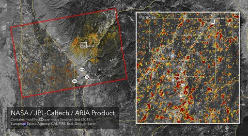
Updated ARIA Map of CA Camp Fire Damage
From the collection of NASA Image and Video Library. Free to download, adapt and use — no permission needed.
About this work
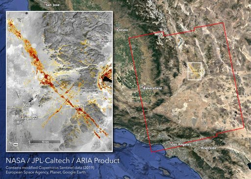
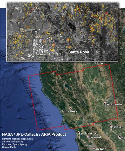
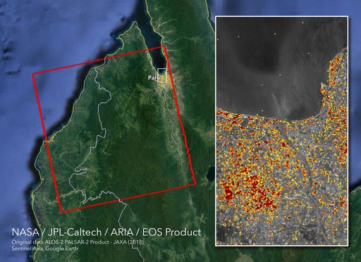
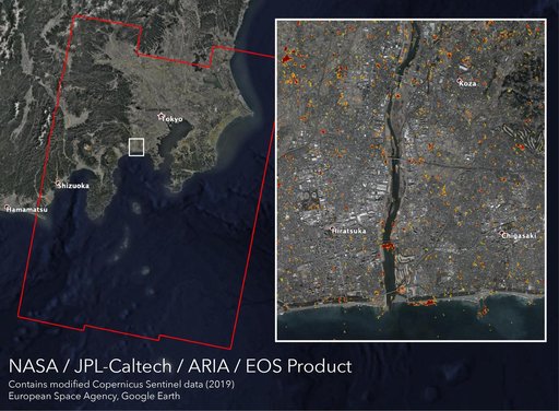
The Advanced Rapid Imaging and Analysis (ARIA) team at NASA's Jet Propulsion Laboratory in Pasadena, California, created this Damage Proxy Map (DPM) depicting areas of Northern California that are likely damaged (shown by red and yellow pixels) as a result of the Camp Fire. The map is derived from synthetic aperture radar (SAR) images from the Copernicus Sentinel-1 satellites, operated by the European Space Agency (ESA).
NASA Image and Video Library’s own descriptionCredit lineUpdated ARIA Map of CA Camp Fire Damage. NASA/JPL, 2018-11-19. Public domain. ID: PIA22819.