Public domain
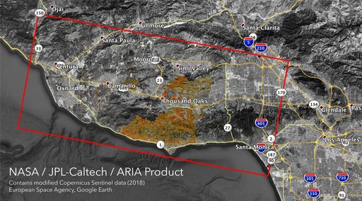
NASA's ARIA Maps California Fire Damage
From the collection of NASA Image and Video Library. Free to download, adapt and use — no permission needed.
About this work
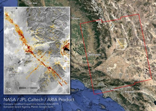
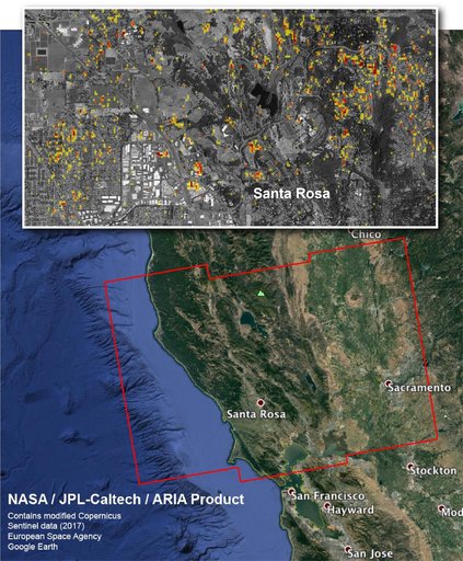
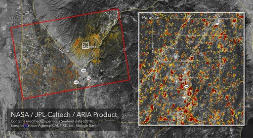
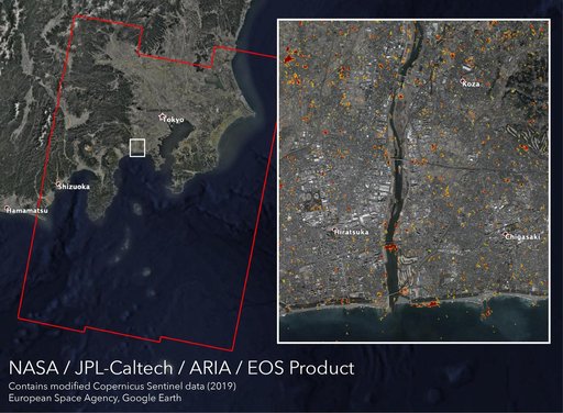
The Advanced Rapid Imaging and Analysis (ARIA) team at NASA's Jet Propulsion Laboratory in Pasadena, California, created these Damage Proxy Maps (DPMs) depicting areas in California likely damaged by the Woolsey and Camp Fires. They are derived from synthetic aperture radar (SAR) images from the Copernicus Sentinel-1 satellites, operated by the European Space Agency (ESA). The pre-event images for the Woolsey Fire in Southern California were taken before the fire on Oct.
NASA Image and Video Library’s own descriptionCredit lineNASA's ARIA Maps California Fire Damage. NASA/JPL, 2018-11-12. Public domain. ID: PIA22816.