Public domain
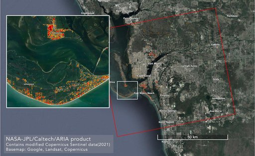
ARIA Maps Damage in Fort Myers From Hurricane Ian
From the collection of NASA Image and Video Library. Free to download, adapt and use — no permission needed.
About this work
NASA scientists are using satellite data to assess the damage on Florida's Gulf Coast after Hurricane Ian, which made landfall in the state as a Category 4 storm on Sept. 28, 2022. The Advanced Rapid Imaging and Analysis (ARIA) team at NASA's Jet Propulsion Laboratory and Caltech created this damage proxy map on Oct. 2, 2022, showing which parts of the Fort Myers area likely suffered storm damage.
NASA Image and Video Library’s own descriptionSubjects
Credit lineARIA Maps Damage in Fort Myers From Hurricane Ian. NASA/JPL, 2022-10-06. Public domain. ID: PIA25426.
Similar works
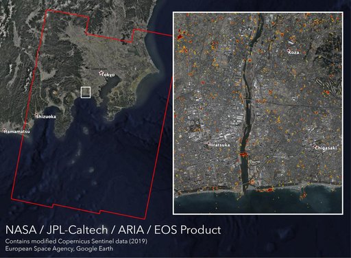 New ARIA Map Shows Damage from Typhoon Hagibis
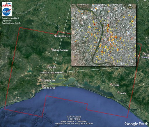 Satellite Radar Detects Damage from Sept. 2017 Chiapas, Mexico Quake
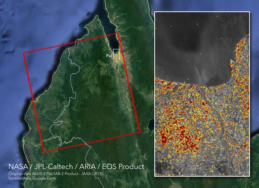 NASA's ARIA Maps Indonesia Quake, Tsunami Damage
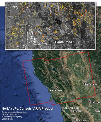 NASA Damage Map Aids Northern California Wildfire Response
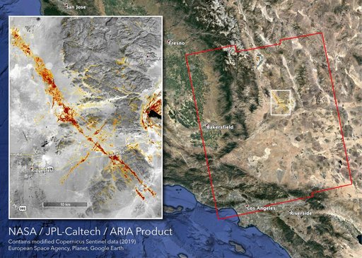 NASA's ARIA Team Maps California Quake Damage
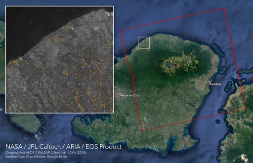 ARIA Damage Proxy Map of Lombok, Indonesia Earthquakes