Public domain
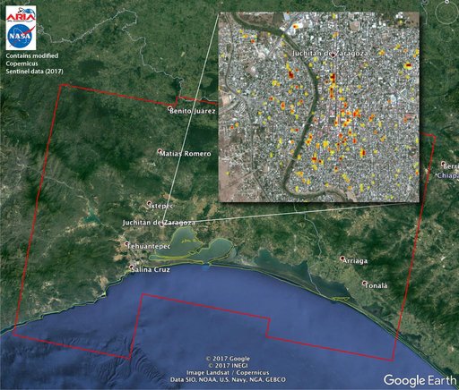
Satellite Radar Detects Damage from Sept. 2017 Chiapas, Mexico Quake
From the collection of NASA Image and Video Library. Free to download, adapt and use — no permission needed.
About this work
The Advanced Rapid Imaging and Analysis (ARIA) team at NASA's Jet Propulsion Laboratory in Pasadena, California, and Caltech, also in Pasadena, created this Damage Proxy Map (DPM) depicting areas of Southern Mexico that are likely damaged (shown by red and yellow pixels) from the magnitude 8.1 Chiapas earthquake of Sept. 7, 2017 (near midnight local time, early morning on Sept. 8 UTC).
NASA Image and Video Library’s own descriptionSubjects
Credit lineSatellite Radar Detects Damage from Sept. 2017 Chiapas, Mexico Quake. NASA/JPL, 2017-09-19. Public domain. ID: PIA21956.
Similar works
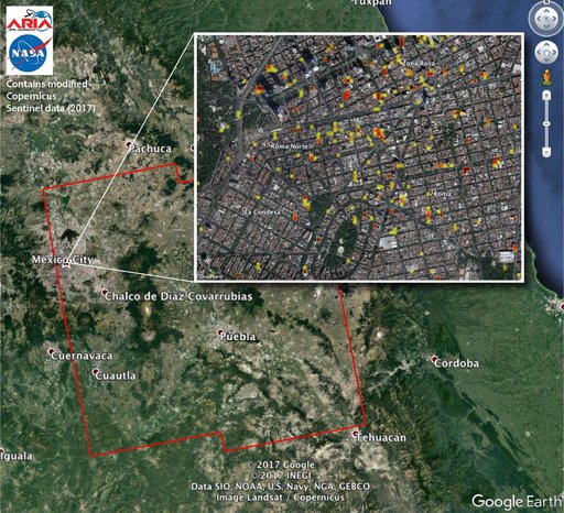 Satellite Radar Detects Damage from Sept. 19, 2017 Raboso, Mexico, Quake
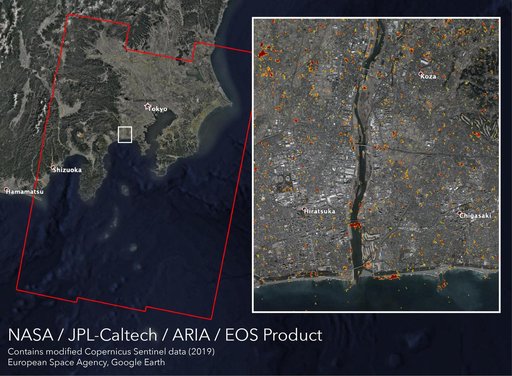 New ARIA Map Shows Damage from Typhoon Hagibis
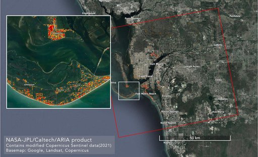 ARIA Maps Damage in Fort Myers From Hurricane Ian
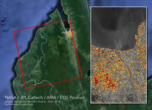 NASA's ARIA Maps Indonesia Quake, Tsunami Damage
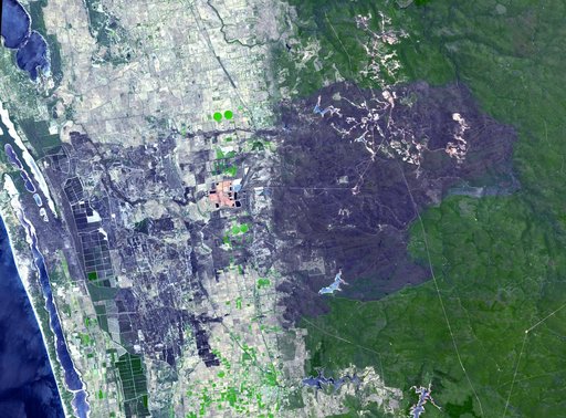 Effects of Devastating Australian Bushfires Seen by NASA Spacecraft
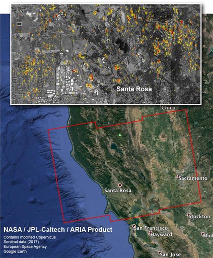 NASA Damage Map Aids Northern California Wildfire Response