Public domain
New ARIA Map Shows Damage from Typhoon Hagibis
From the collection of NASA Image and Video Library. Free to download, adapt and use — no permission needed.
About this work
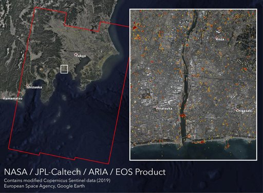
Typhoon Hagibis, one of the most destructive storms to hit Japan in decades, made landfall on Saturday, Oct. 12, 2019 southwest of Tokyo with wind speeds equivalent to a Category 3 hurricane. The damage it left in its wake is visible from space. NASA's Advance Rapid Imaging and Analysis (ARIA) team, in collaboration with the Earth Observatory of Singapore (EOS), used satellite data to create this map showing areas in Japan that are likely damaged as a result of Typhoon Hagibis.
NASA Image and Video Library’s own descriptionSubjects
Credit lineNew ARIA Map Shows Damage from Typhoon Hagibis. NASA/JPL, 2019-10-15. Public domain. ID: PIA23424.
Similar works
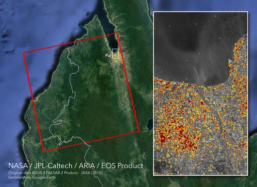 NASA's ARIA Maps Indonesia Quake, Tsunami Damage
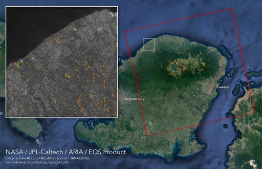 ARIA Damage Proxy Map of Lombok, Indonesia Earthquakes
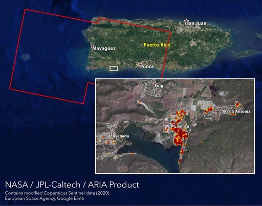 ARIA Maps Damage of Western Puerto Rico After Quakes
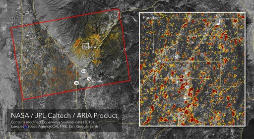 Updated ARIA Map of CA Camp Fire Damage
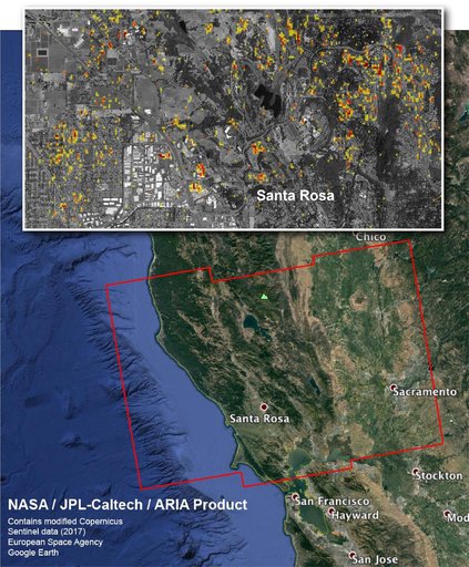 NASA Damage Map Aids Northern California Wildfire Response
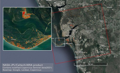 ARIA Maps Damage in Fort Myers From Hurricane Ian