Public domain
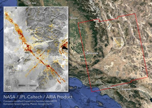
NASA's ARIA Team Maps California Quake Damage
From the collection of NASA Image and Video Library. Free to download, adapt and use — no permission needed.
About this work
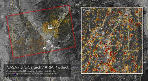
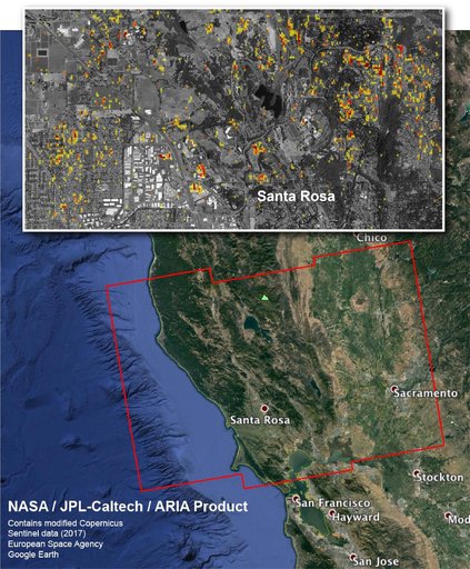
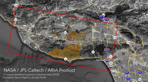
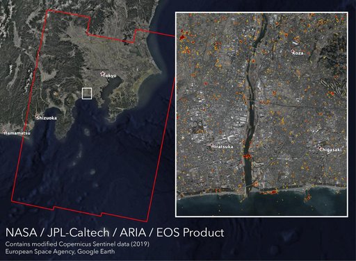
The Advanced Rapid Imaging and Analysis (ARIA) team at NASA's Jet Propulsion Laboratory in Pasadena, California, created this map depicting areas that are likely damaged as a result of the recent major earthquakes in Southern California. The color variation from yellow to red indicates increasingly more significant surface change, or damage. The map covers an area of 155 by 186 miles (250 by 300 kilometers), shown by the large red polygon. Each pixel measures about 33 yards (30 meters) across.
NASA Image and Video Library’s own descriptionSubjects
Credit lineNASA's ARIA Team Maps California Quake Damage. NASA/JPL, 2019-07-12. Public domain. ID: PIA23354.