Public domain
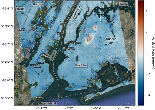
Map of New York City Subsidence and Uplift
From the collection of NASA Image and Video Library. Free to download, adapt and use — no permission needed.
About this work
Researchers from NASA's Jet Propulsion Laboratory in Southern California and Rutgers University in New Jersey produced this map in their analysis of upward and downward vertical land motion – also known as uplift and subsidence – across the New York City metropolitan area from 2016 to 2023. Most of the study region was found to be gradually subsiding (indicated here in blue), while isolated locations of uplift (in red) were also observed. The white dotted lines indicate county/borough borders.
NASA Image and Video Library’s own descriptionSubjects
Credit lineMap of New York City Subsidence and Uplift. NASA/JPL, 2023-09-27. Public domain. ID: PIA25527.
Similar works
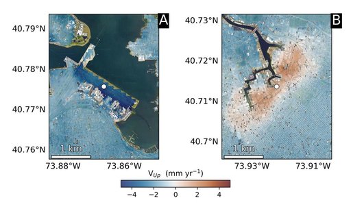 Hot Spots of Subsidence, Uplift in New York City
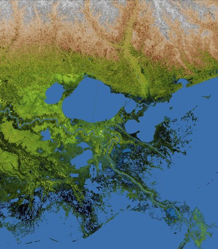 Mississippi Delta, Radar Image with Colored Height
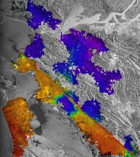 Hayward Fault, California Interferogram
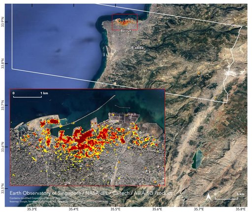 ARIA Damage Map: Beirut Explosion Aftermath
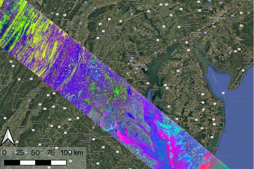 NASA's EMIT Collects Data on Mid-Atlanic Plant Communities
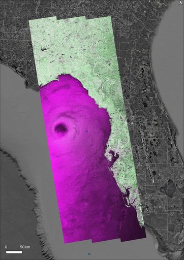 NASA's OPERA Project Generates Radar Image of Hurricane Helene