Public domain
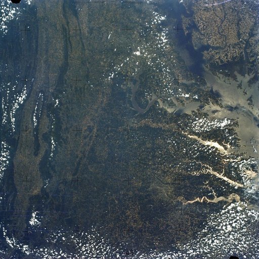
Chesapeake Bay, Potomac River
From the collection of NASA Image and Video Library. Free to download, adapt and use — no permission needed.
About this work
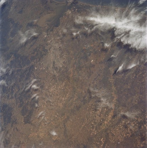
SL2-05-393 (22 June 1973) --- The nation's capital lies astride the Potomac River (38.5N, 77.5W) at the head of the Potomac Estuary. Baltimore, MD, also in the scene, is connected to Washington by the Baltimore-Washington Parkway. The suburbs of both cities tend to cluster around the Washington and Baltimore Beltways. Most of the countryside in the eastern two-thirds of this scene is either heavily forested or is in farming, dairy operations or poultry production.
NASA Image and Video Library’s own descriptionCredit lineChesapeake Bay, Potomac River. NASA/JSC, 1973-06-22. Public domain. ID: sl2-05-393.