Public domain
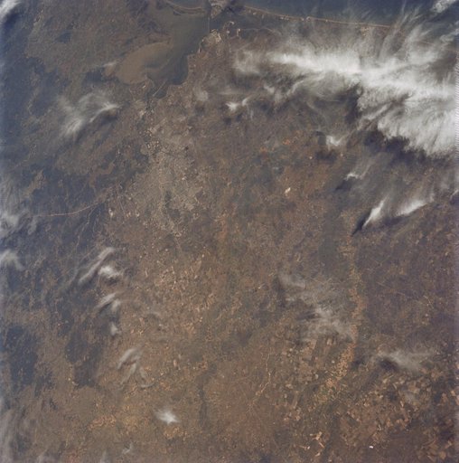
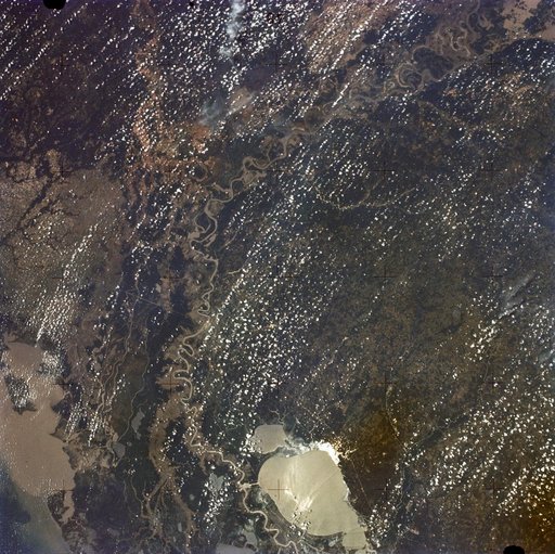
New Orleans, Louisiana, Mississippi River, and Lake Pontchartrain
From the collection of NASA Image and Video Library. Free to download, adapt and use — no permission needed.
About this work
SL2-05-397 (22 June 1973) --- New Orleans, Louisiana, Mississippi River, and Lake Pontchartrain (31.0N, 91.0W) can all be seen in this single detailed view. The marshlands of the Atchafalaya Basin, previously the main drainage way for the Mississippi River, can be seen to be partially silted as a result of sediments. The long narrow field patterns fronting on the river is called the "Long Lot" system of equal land distribution based on the French Napoleonic Civil Code.
NASA Image and Video Library’s own descriptionSubjects
Credit lineNew Orleans, Louisiana, Mississippi River, and Lake Pontchartrain. NASA/JSC, 1973-06-22. Public domain. ID: sl2-05-397.