Public domain
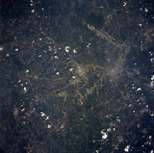
Louisville, KY, USA
From the collection of NASA Image and Video Library. Free to download, adapt and use — no permission needed.
About this work
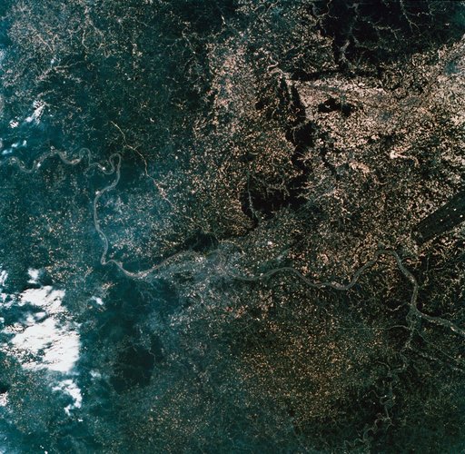
SL2-10-260 (22 June 1973) --- The meandering Ohio River bisecting this image is the border between Kentucky and Indiana. Louisville, KY (38.5N, 86.0W) on the south shore, is the main city seen in this predominately agricultural region where much of the native hardwood forests have been preserved in the hilly terrain. The main crops in this region include corn, alfalfa, wheat and soybeans. The dark rectangle in south Indiana near the river is The U.S. Army's Jefferson Proving Ground.
NASA Image and Video Library’s own descriptionCredit lineLouisville, KY, USA. NASA/JSC, 1973-06-22. Public domain. ID: sl2-10-260.