Public domain
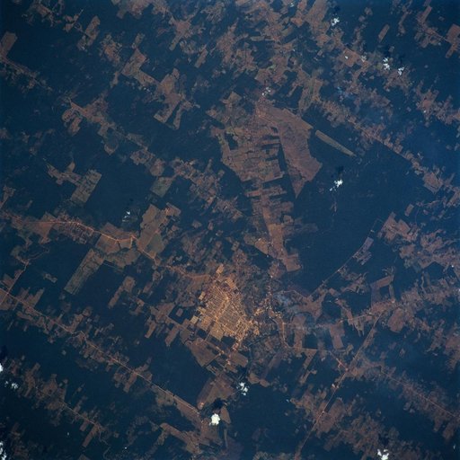
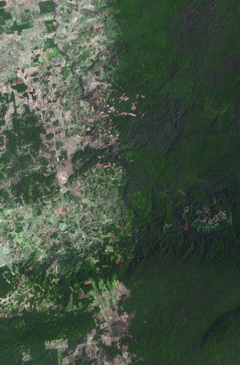
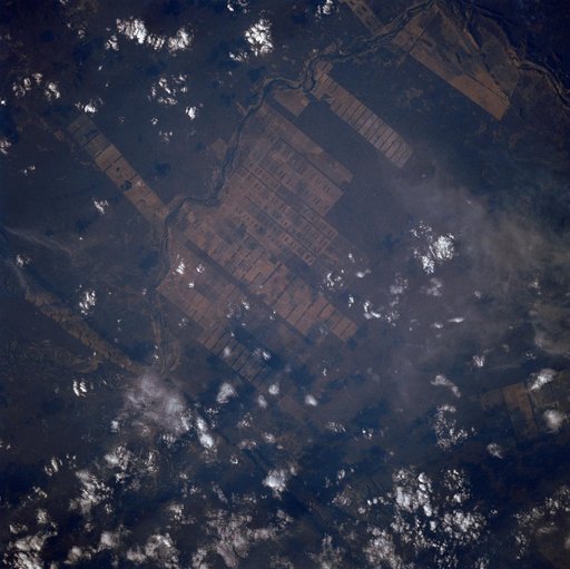
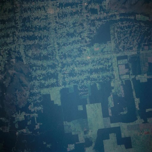
Deforestation in Brazil as seen from STS-66 Atlantis
From the collection of NASA Image and Video Library. Free to download, adapt and use — no permission needed.
About this work
This near vertical photograph illustrates the differences in agricultural land patterns typically seen in many parts of southwestern Brazil, near the Bolivian border. The larger rectangular field patterns reflect a mature, fully developed agricultural environment. The smaller areas are less well defined and indicate new agricultural development.
NASA Image and Video Library’s own descriptionCredit lineDeforestation in Brazil as seen from STS-66 Atlantis. NASA/JSC, 1994-11-14. Public domain. ID: sts066-103-020.