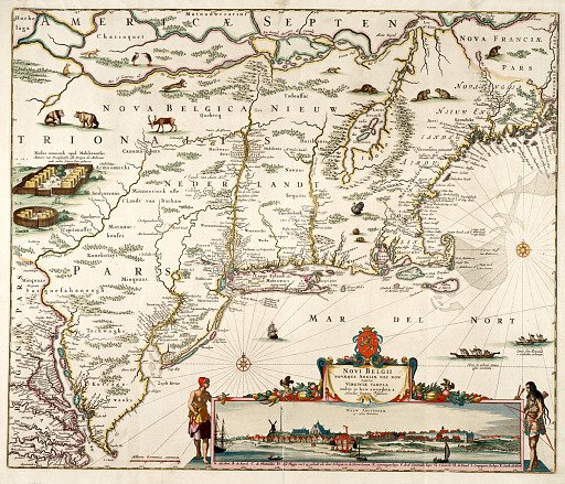
Novi Belgii, Novaeque Angliae nec non partis Virginiae Tabula...
From the collection of National Museum of American History. Free to download, adapt and use — no permission needed.
This Dutch map, made about 1655, shows eastern North America from what is now Canada to Virginia. Illustrations within the map include bears, beaver, deer, foxes, turkeys, and rabbits, as well as Indian villages on land, and Indians in boats at sea. The lower right corner of the map contains an inset of Nieuw Amsterdam, the third known engraved view of that city which is now New York. The view is framed by a decorative cartouche with fruits and a crest and flanked by Indian figures on either side. This is the second version or state of this map, and number 5 of a series identified by historians as the Jansson-Visscher maps. Fort Kasimier has been added on the Delaware River to recognize the Dutch capture of the fort in 1655.
National Museum of American History’s own descriptionSimilar works
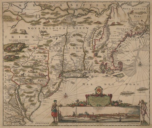 Novi Belgii Novaeque Angliae nec non Pennsylvaniae et partis Virginiae tabula multis in locis emendata
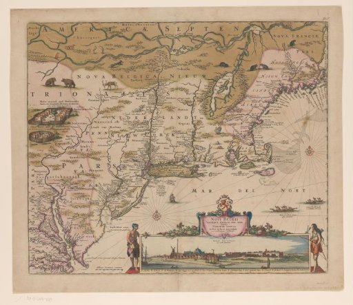 Map of the northeast coast of America, with a view of New Amsterdam
![Recens Edita Totius Novi Belgii, in America Septentrionali [An Updated View of New Netherlands in North America]](https://thumbs.arkivism.com/met-384838.jpg) Recens Edita Totius Novi Belgii, in America Septentrionali [An Updated View of New Netherlands in North America]
Recens Edita Totius Novi Belgii, in America Septentrionali [An Updated View of New Netherlands in North America]
![Novi Belgii, Novaeque Angliae nec non partis Virginiae tabula [Map of New Netherlands, New England, and part of Virginia]](https://thumbs.arkivism.com/met-384845.jpg) Novi Belgii, Novaeque Angliae nec non partis Virginiae tabula [Map of New Netherlands, New England, and part of Virginia]
Novi Belgii, Novaeque Angliae nec non partis Virginiae tabula [Map of New Netherlands, New England, and part of Virginia]
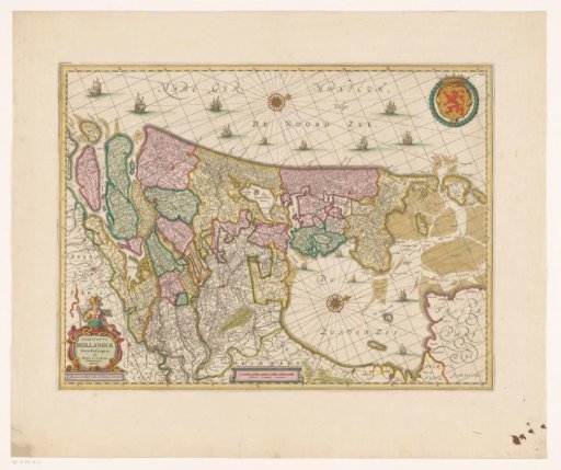 Map of the County of Holland
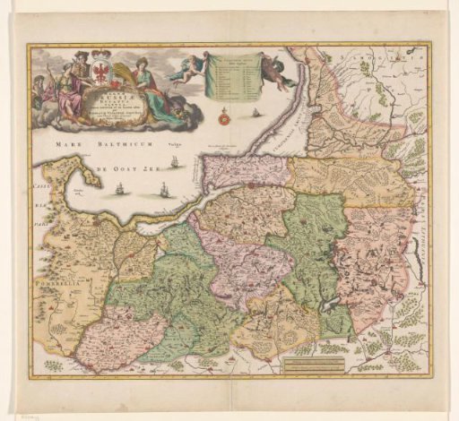 Map of Prussia