Public domain
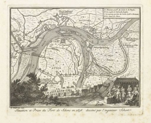
Map of the siege of Schenckenschans, 1636
From the collection of Rijksmuseum, Amsterdam. Free to download, adapt and use — no permission needed.
About this work
Map of the siege and capture of Schenckenschans in the Rhine by the States' army under Frederick Henry, 30 July 1635 – 29 April 1636. In the foreground, military deliberations in Frederick Henry's army tent. Top right: legend A-D in French. This plate printed together with another plate on a single sheet.
Rijksmuseum, Amsterdam’s own descriptionCredit lineKaart van het beleg van Schenckenschans, 1636. 1732 - 1733. Bernard Picart. Rijksmuseum, Amsterdam. Public domain.
Similar works
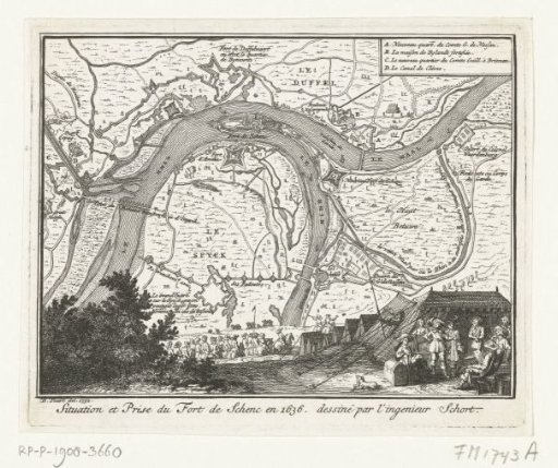 Map of the siege of Schenckenschans, 1636
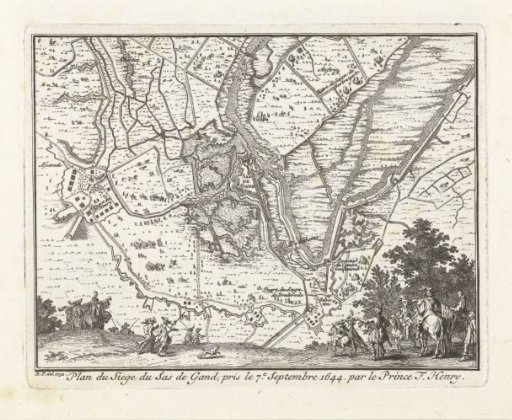 Map of the siege of Sas van Gent by Frederik Hendrik, 1629
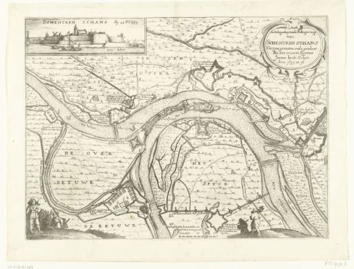 Map with the siege and capture of Schenkenschans by Frederick Henry, 1635-1636
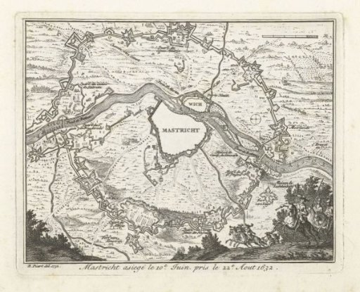 Map of the siege of Maastricht, 1632
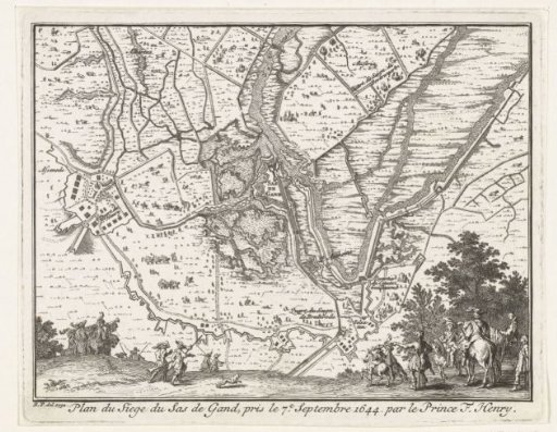 Map of the siege of Sas-van-Gent by Frederick Henry, 1629
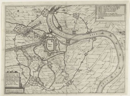 Map of the siege of Rijnberg, 1633